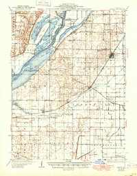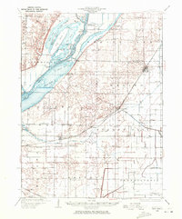
1929 Map of Manito
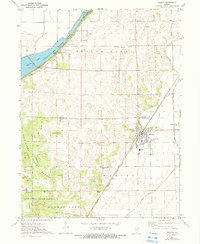
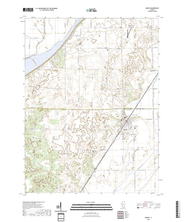
USGS Topo · Published 1972About this map
The Illinois River dominates this landscape as it flows between Fulton and Mason counties, defining an intricate wetland of backwater lakes and sloughs. Water bodies like Rice Lake, Clear Lake, and Mud Lake are intertwined with islands and ridges such as Duck Island and Hoxie Ridge. This geography supported specialized recreation and industry during the early twentieth century, evidenced by the Duck Island Hunting Club and the Clear Lake Outing Club, alongside agricultural facilities like Spring Lake Elevator No 2.
Find a feature on this map
94 named features on this map. Tap any name to fly to it.
Don’t see what you’re looking for? This feature index may not catch every label — zoom into the map to look around manually.
Map Details
Editions of this 1929 Manito Map
This is the sole edition of this map. No revisions or reprints were ever made.
Historical Maps of Manito Through Time
8 maps found