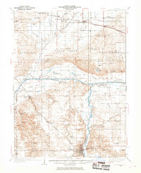
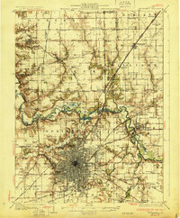
1933 Map of Petersburg
USGS Topo · Published 1969About this map
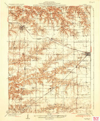
Petersburg sits at the southern edge of this Central Illinois landscape, where the Sangamon River carves a winding path through Menard Co. The region is defined by a dense network of drainage projects and rail lines, including the Alton, the Chicago and Illinois Midland, and the Pennsylvania railroad. These corridors connect rural grain stops like Atterbury and Teheran to larger markets.
Find a feature on this map
99 named features on this map. Tap any name to fly to it.
Don’t see what you’re looking for? This feature index may not catch every label — zoom into the map to look around manually.
Map Details
Editions of this 1933 Petersburg Map
This is the sole edition of this map. No revisions or reprints were ever made.
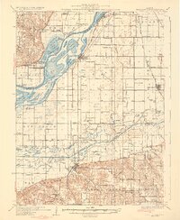
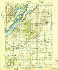
Other maps of this area

1907 · Springfield
USGS Topo · 1:62,500

1909 · Tallula
USGS Topo · 1:62,500
1925 · Havana
USGS Topo · 1:62,500
1929 · Manito
USGS Topo · 1:62,500
1930 · Chandlerville
USGS Topo · 1:62,500
1930 · Springfield
USGS Topo · 1:62,500
1932 · Chandlerville
USGS Topo · 1:62,500
1932 · Manito
USGS Topo · 1:62,500
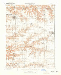
1932 · Virginia
USGS Topo · 1:62,500
1936 · Virginia
USGS Topo · 1:62,500