
1909 Map of Tallula
USGS Topo · Published 1909About this map
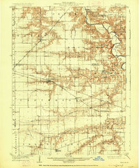
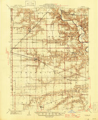
The Sangamon River meanders through the northeastern corner of this Central Illinois landscape, carved by an intricate network of waterways including Rock Creek, Richland Creek, and Spring Creek. At the dawn of the 20th century, the region was defined by its robust railroad infrastructure, with several major lines intersecting the prairie. The Chicago and Alton RR serves the town of Tallula, while the Baltimore and Ohio Southwestern RR provides a critical link for settlements like Pleasant Plains and Farmingdale. This era shows a transition from rural crossroads to established rail-dependent communities. Smaller locales such as Lloyd, Salisbury, and Berlin are surrounded by a landscape divided into townships like Cartwright and Island Grove, reflecting the early administrative and social organization of Menard and Sangamon counties.
Find a feature on this map
31 named features on this map. Tap any name to fly to it.
Don’t see what you’re looking for? This feature index may not catch every label — zoom into the map to look around manually.
Map Details
Editions of this 1909 Tallula Map
3 editions found
Other maps of this area

1907 · Springfield
USGS Topo · 1:62,500

1922 · Divernon
USGS Topo · 1:62,500

1924 · Divernon
USGS Topo · 1:62,500

1924 · Waverly
USGS Topo · 1:62,500

1926 · Waverly
USGS Topo · 1:62,500

1930 · Chandlerville
USGS Topo · 1:62,500

1930 · Springfield
USGS Topo · 1:62,500

1932 · Chandlerville
USGS Topo · 1:62,500

1932 · Jacksonville
USGS Topo · 1:62,500

1932 · Virginia
USGS Topo · 1:62,500