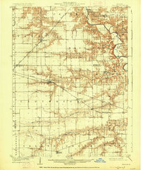
1909 Map of Tallula
USGS Topo · Published 1927About this map
The Sangamon River carves through the northern half of this Central Illinois landscape, defining the topography near Tice and Petersburg. At the turn of the century, the region was a dense lattice of competing railroads, where the Chicago and Alton RR and the Baltimore and Ohio Southwestern RR crossed the prairie to serve agricultural hubs like Pleasant Plains and Tallula.
Find a feature on this map
31 named features on this map. Tap any name to fly to it.
Don’t see what you’re looking for? This feature index may not catch every label — zoom into the map to look around manually.
Map Details
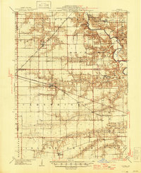
Editions of this 1909 Tallula Map
3 editions found
Other maps of this area

1907 · Springfield
USGS Topo · 1:62,500

1909 · Tallula
USGS Topo · 1:62,500

1922 · Divernon
USGS Topo · 1:62,500

1924 · Divernon
USGS Topo · 1:62,500

1924 · Waverly
USGS Topo · 1:62,500

1926 · Waverly
USGS Topo · 1:62,500

1930 · Chandlerville
USGS Topo · 1:62,500

1930 · Springfield
USGS Topo · 1:62,500

1932 · Chandlerville
USGS Topo · 1:62,500

1932 · Jacksonville
USGS Topo · 1:62,500