
Loading...
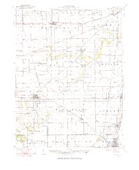
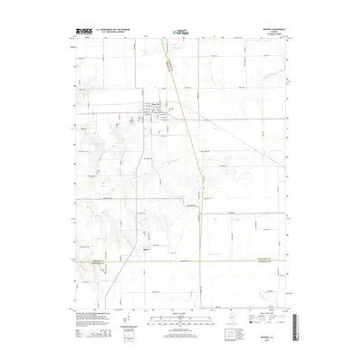
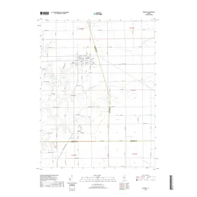
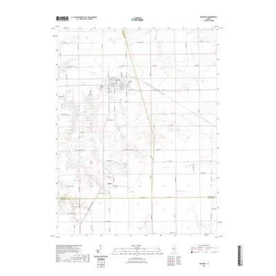
Loading map...1924 Map of Waverly
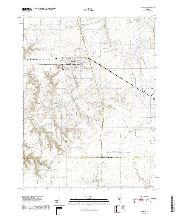
USGS Topo · Published 1924About this map
The prairies of central Illinois are defined here by a dense grid of rural schoolhouses and the intricate path of early twentieth-century rail lines. Waverly and Auburn serve as the primary hubs in a landscape heavily utilized for agriculture, where small country schools like Hong Kong School, Mound Seminary School, and Prairie College School are spaced nearly every two miles to serve the farm families of the 1920s.
Find a feature on this map
93 named features on this map. Tap any name to fly to it.
Don’t see what you’re looking for? This feature index may not catch every label — zoom into the map to look around manually.
Map Details
Date Portrayed1924
Date Published1924
PublisherU.S. Geological Survey
Map TypeTopographic
Scale1:62,500
Physical Dimensions16.9 x 20.7 inches
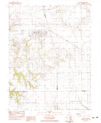
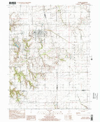
Editions of this 1924 Waverly Map
2 editions found
Historical Maps of Springfield Through Time
9 maps found

Featured Locations
Source Details
SourceU.S. Geological Survey
CopyrightPublic Domain