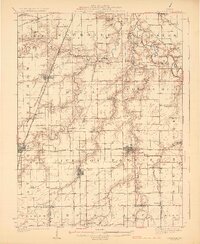
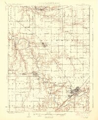
1922 Map of Divernon
USGS Topo · Published 1957About this map
Divernon and the surrounding central Illinois prairies are defined by a dense network of early 20th-century railroads and local school districts. This 1922 survey captures the region's agricultural peak, where towns like Auburn and Pawnee served as vital hubs for the Illinois Central RR and the Illinois Traction System electric interurban line. The landscape is meticulously partitioned by township boundaries such as Cotton Hill and Ball, each dotted with namesake institutions like Cotton Hill Academy and New College School.
Find a feature on this map
87 named features on this map. Tap any name to fly to it.
Don’t see what you’re looking for? This feature index may not catch every label — zoom into the map to look around manually.
Map Details
Editions of this 1922 Divernon Map
This is the sole edition of this map. No revisions or reprints were ever made.
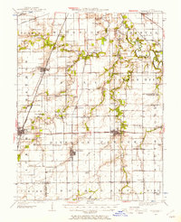
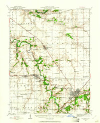
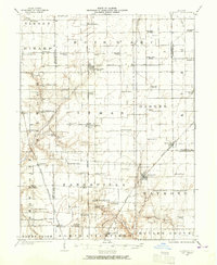
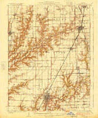
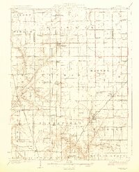
Other maps of this area

1907 · Springfield
USGS Topo · 1:62,500

1909 · Tallula
USGS Topo · 1:62,500

1923 · Carlinville
USGS Topo · 1:48,000
1923 · Taylorville
USGS Topo · 1:62,500
1923 · Raymond
USGS Topo · 1:62,500
1924 · Divernon
USGS Topo · 1:62,500

1924 · Waverly
USGS Topo · 1:62,500
1925 · Taylorville
USGS Topo · 1:62,500
1925 · Carlinville
USGS Topo · 1:62,500
1925 · Raymond
USGS Topo · 1:62,500