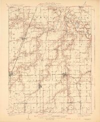
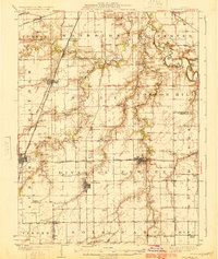
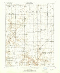
1924 Map of Divernon
USGS Topo · Published 1924About this map
Sugar Creek and the South Fork Sangamon River carve through this central Illinois landscape, defining the rural character of the region in the early 1920s. A dense network of local education and faith centers anchors the farming community, with landmarks such as the Cotton Hill Academy, Stout Church, and Zenobia Church serving as vital social hubs. The landscape is also shaped by a converging system of railroads, including the Chicago and Alton and the Illinois Central, which connected agricultural towns like Divernon and Pawnee to larger markets.
Find a feature on this map
74 named features on this map. Tap any name to fly to it.
Don’t see what you’re looking for? This feature index may not catch every label — zoom into the map to look around manually.
Map Details
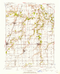
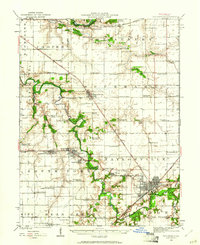
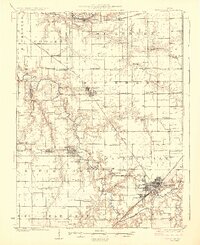
Editions of this 1924 Divernon Map
2 editions found
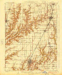
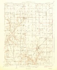
Other maps of this area

1907 · Springfield
USGS Topo · 1:62,500

1909 · Tallula
USGS Topo · 1:62,500
1922 · Divernon
USGS Topo · 1:62,500

1923 · Carlinville
USGS Topo · 1:48,000
1923 · Taylorville
USGS Topo · 1:62,500
1923 · Raymond
USGS Topo · 1:62,500

1924 · Waverly
USGS Topo · 1:62,500
1925 · Taylorville
USGS Topo · 1:62,500
1925 · Carlinville
USGS Topo · 1:62,500
1925 · Raymond
USGS Topo · 1:62,500