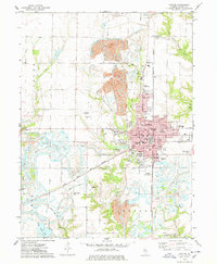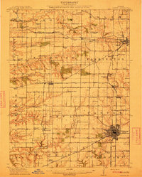
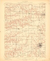
1912 Map of Canton
USGS Topo · Published 1912About this map
The industrial coal belts of central Illinois dominate this 1912 survey, revealing a landscape defined by underground extraction and a dense grid of rural education. Canton serves as the primary hub, surrounded by a constellation of active operations such as Canton Mine, Eagle Mine, and the Simmons Mine. The map documents a highly developed school system, with nearly every section of the township containing a local schoolhouse like Lone Elm School, Sunbeam School, or Pisgah School, providing a precise record for genealogists tracing ancestral homesteads.
Find a feature on this map
104 named features on this map. Tap any name to fly to it.
Don’t see what you’re looking for? This feature index may not catch every label — zoom into the map to look around manually.
Map Details
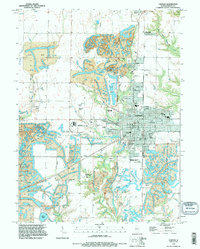
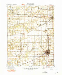
Editions of this 1912 Canton Map
4 editions found
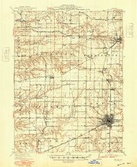
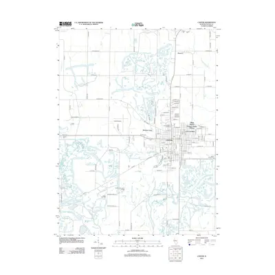
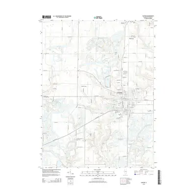
Historical Maps of Canton Through Time
8 maps found