
1941 Map of Maquon
USGS Topo · Published 1961About this map
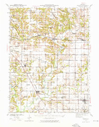
The Spoon River meanders across this rural landscape, providing the geographical spine for Knox County's small agrarian and mining communities during the mid-twentieth century. Transportation and industry define the settlement patterns here, with the Atchison Topeka and Santa Fe railroad serving the northern corridor through Williamsfield and Dahinda, while the Chicago Burlington and Quincy line connects Maquon and Yates City to the south. Evidence of local industry is visible in the north, where a significant Strip Mine and the Knoxville Mine operate near the drainage of Sugar Creek.
Find a feature on this map
88 named features on this map. Tap any name to fly to it.
Don’t see what you’re looking for? This feature index may not catch every label — zoom into the map to look around manually.
Map Details
Editions of this 1941 Maquon Map
2 editions found
Other maps of this area

1912 · Canton
USGS Topo · 1:62,500

1915 · Avon
USGS Topo · 1:62,500

1925 · Galesburg
USGS Topo · 1:62,500

1927 · Galesburg
USGS Topo · 1:62,500

1930 · Glasford
USGS Topo · 1:62,500

1931 · Galva
USGS Topo · 1:48,000

1940 · Galva
USGS Topo · 1:62,500

1943 · Maquon
USGS Topo · 1:62,500

1944 · Galva
USGS Topo · 1:62,500

1944 · Kewanee
USGS Topo · 1:62,500