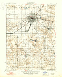
1927 Map of Galesburg
USGS Topo · Published 1949About this map
Galesburg stands as a major rail hub in this mid-century update of a late 1920s survey, defined by the convergence of the Chicago Burlington and Quincy RR, Atchison Topeka and Santa Fe RR, and the Minneapolis and St Louis RR. The dense grid of the city gives way to a landscape of specialized country schools and family-named landmarks like Heller School and Cherry Farm School. To the south, Lake Bracken and the adjacent Knox County Country Club indicate the development of local recreation alongside established agriculture.
Find a feature on this map
88 named features on this map. Tap any name to fly to it.
Don’t see what you’re looking for? This feature index may not catch every label — zoom into the map to look around manually.
Map Details
Editions of this 1927 Galesburg Map
3 editions found
Other maps of this area

1912 · Canton
USGS Topo · 1:62,500

1915 · Avon
USGS Topo · 1:62,500

1916 · Good Hope
USGS Topo · 1:62,500

1918 · Good Hope
USGS Topo · 1:62,500

1921 · Monmouth
USGS Topo · 1:62,500

1923 · Monmouth
USGS Topo · 1:62,500

1923 · Alexis
USGS Topo · 1:62,500

1925 · Alexis
USGS Topo · 1:62,500

1925 · Galesburg
USGS Topo · 1:62,500

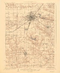
1927 · Galesburg
USGS Topo · 1:62,500