
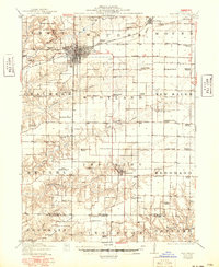
1912 Map of Macomb
USGS Topo · Published 1966About this map
The Macomb area of west-central Illinois reveals a landscape defined by an extensive network of rural schools and early automotive-era transit routes. This 1912 survey, with cultural updates from the mid-20th century, highlights the importance of localized education through dozens of namesake institutions like Litchfield School, Coker School, and Hickory Grove School. The intersection of the Chicago Burlington and Quincy railroad and the Waubonsie Trail at Macomb illustrates the transition from rail-based commerce to the early highway system. South of the city, the terrain is cut by the La Moine River and its many tributaries, including Troublesome Creek and Grindstone Creek, where the land becomes more fragmented. Smaller settlements such as Industry and Bardolph serve as secondary hubs, while a Clay Mine north of the county seat points to the region's early industrial activity.
Find a feature on this map
83 named features on this map. Tap any name to fly to it.
Don’t see what you’re looking for? This feature index may not catch every label — zoom into the map to look around manually.
Map Details
Editions of this 1912 Macomb Map
This is the sole edition of this map. No revisions or reprints were ever made.
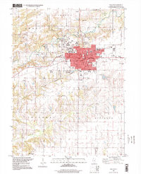
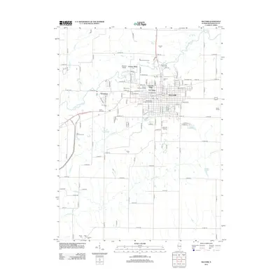
Historical Maps of Macomb Through Time
11 maps found
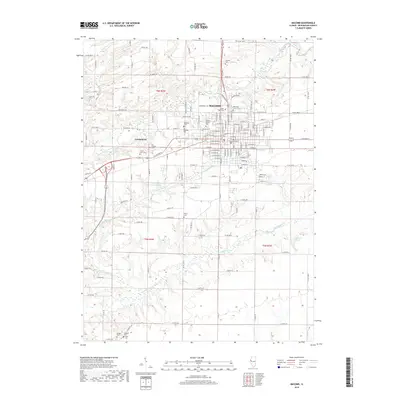
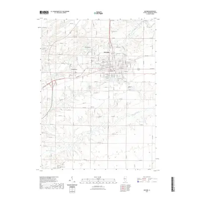
1912 Macomb
McDonough County, IL
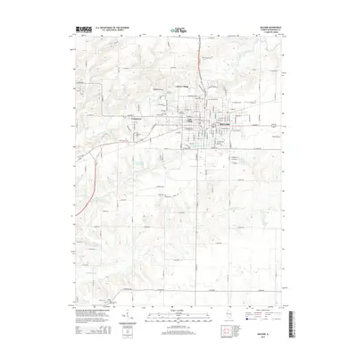
1914 Macomb
McDonough County, IL
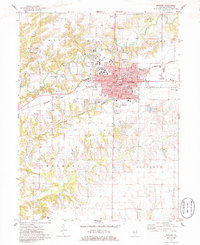
1974 Macomb
McDonough County, IL

1985 Macomb
McDonough County, IL

1989 Macomb
McDonough County, IL
1997 Macomb
McDonough County, IL
2012 Macomb
McDonough County, IL
2015 Macomb
McDonough County, IL
2018 Macomb
McDonough County, IL
2021 Macomb
McDonough County, IL
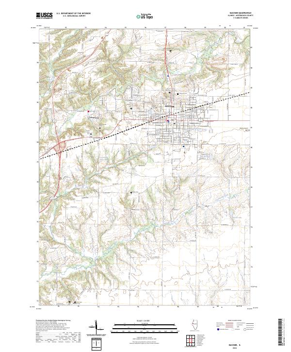
2024 Macomb
McDonough County, IL