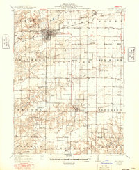
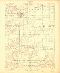
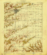
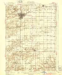
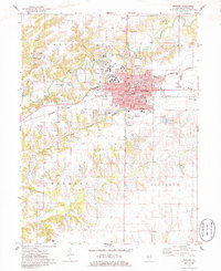
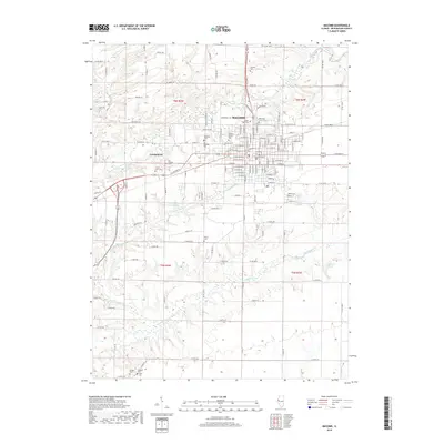
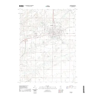
1914 Map of Macomb
USGS Topo · Published 1949About this map
Macomb stands as the central hub of this west-central Illinois landscape, where the Chicago Burlington and Quincy railroad intersects with early automobile-era routes like the Waubonsie Trail. The map reveals a dense network of rural infrastructure, with nearly every section of land supported by its own local education center, such as Gooseneck School, Maple Grove School, and the distinctive Cottage Corner School. These schools, often named for local families or geography, provide a precise look at the township organization of McDonough and Schuyler counties.
Find a feature on this map
83 named features on this map. Tap any name to fly to it.
Don’t see what you’re looking for? This feature index may not catch every label — zoom into the map to look around manually.
Map Details
Editions of this 1914 Macomb Map
4 editions found
Historical Maps of Macomb Through Time
11 maps found

1912 Macomb
McDonough County, IL
1914 Macomb
McDonough County, IL
1974 Macomb
McDonough County, IL

1985 Macomb
McDonough County, IL

1989 Macomb
McDonough County, IL
1997 Macomb
McDonough County, IL
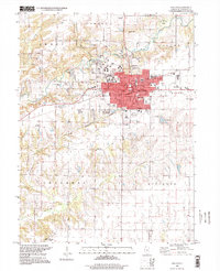
2012 Macomb
McDonough County, IL
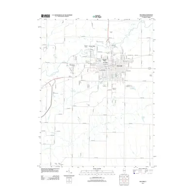
2015 Macomb
McDonough County, IL
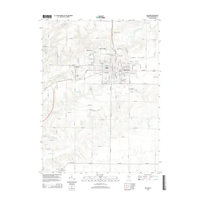
2018 Macomb
McDonough County, IL
2021 Macomb
McDonough County, IL
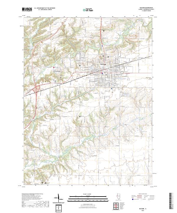
2024 Macomb
McDonough County, IL