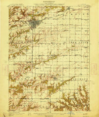
1914 Map of Macomb
USGS Topo · Published 1914About this map
Macomb anchors the center of this McDonough County landscape, showing a dense grid of streets and rail lines just before the First World War. The region is defined by a dense network of local education, with dozens of rural schoolhouses such as Lickskillet School, Gooseneck School, and Frogpond School serving as community hubs for outlying townships like Scotland and Chalmers. These institutions, often named for local flora or geography, illustrate the dispersed settlement pattern of the era's agrarian society.
Find a feature on this map
86 named features on this map. Tap any name to fly to it.
Don’t see what you’re looking for? This feature index may not catch every label — zoom into the map to look around manually.
Map Details
Editions of this 1914 Macomb Map
4 editions found
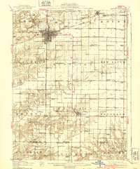
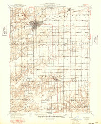
Other maps of this area

1912 · Macomb
USGS Topo · 1:62,500

1913 · Colchester
USGS Topo · 1:62,500

1914 · Macomb
USGS Topo · 1:62,500

1915 · Avon
USGS Topo · 1:62,500

1916 · Good Hope
USGS Topo · 1:62,500

1918 · Vermont
USGS Topo · 1:62,500

1918 · La Harpe
USGS Topo · 1:62,500

1918 · Good Hope
USGS Topo · 1:62,500

1921 · Vermont
USGS Topo · 1:62,500

1923 · Rushville
USGS Topo · 1:62,500