1914 Map of Macomb
USGS Topo · Published 1939About this map
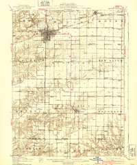
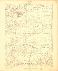
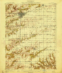
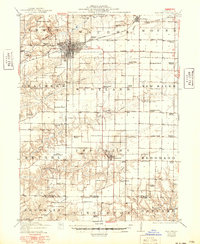
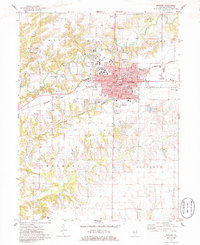
Macomb stands as the central hub of this early twentieth-century survey, its grid concentrated at the intersection of the Chicago Burlington and Quincy railroad and the Waubonsie Trail. This map captures a landscape defined by an exceptionally dense network of rural schoolhouses, with nearly every section of the surrounding townships supporting sites like Gooseneck School, Litchfield School, and Ebenezer School. To the south, the terrain becomes more dissected as the Lamoine River and its tributaries, including Troublesome Creek and Grindstone Creek, cut through the prairie. Industrial activity is noted north of the city at a Clay Mine, while small outlying communities like Bardolph and Industry anchor the surrounding agricultural townships. The distribution of these named landmarks provides a clear picture of the township-and-range settlement pattern before the consolidation of rural infrastructure.
Find a feature on this map
81 named features on this map. Tap any name to fly to it.
Don’t see what you’re looking for? This feature index may not catch every label — zoom into the map to look around manually.
Map Details
Editions of this 1914 Macomb Map
4 editions found
Historical Maps of Macomb Through Time
11 maps found

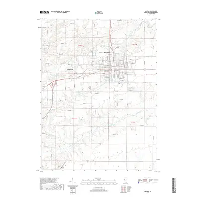
1912 Macomb
McDonough County, IL
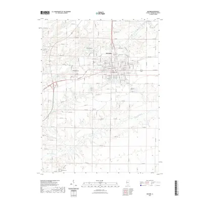
1914 Macomb
McDonough County, IL
1974 Macomb
McDonough County, IL

1985 Macomb
McDonough County, IL

1989 Macomb
McDonough County, IL
1997 Macomb
McDonough County, IL
2012 Macomb
McDonough County, IL
2015 Macomb
McDonough County, IL
2018 Macomb
McDonough County, IL
2021 Macomb
McDonough County, IL
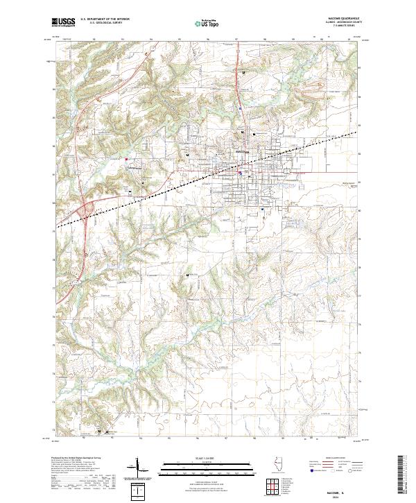
2024 Macomb
McDonough County, IL