
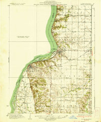
1936 Map of Keokuk
USGS Topo · Published 1936About this map
Keokuk Dam stands as the central engineering feat of this mid-1930s landscape, bridging the Mississippi River and creating the broad expanse of Keokuk Lake. The river's influence is evident in the dense network of wetlands and secondary channels along the Illinois shore, including Mud Slough, Taylor Slough, and Kaufman Slough which wrap around Hackley Island and Taylor Island. On the high ground, the townships of Sonora, Montebello, and Warsaw are defined by a remarkably dense system of rural schools, such as Froggy Sch, White Brick Sch, and Sylvanvale Sch, reflecting the community structure of Hancock County before school consolidation.
Find a feature on this map
68 named features on this map. Tap any name to fly to it.
Don’t see what you’re looking for? This feature index may not catch every label — zoom into the map to look around manually.
Map Details
Editions of this 1936 Keokuk Map
3 editions found
Other maps of this area

1903 · Kahoka
USGS Topo · 1:125,000

1932 · Lomax
USGS Topo · 1:62,500

1933 · Carthage
USGS Topo · 1:62,500

1936 · Fort Madison
USGS Topo · 1:62,500

1937 · Carthage
USGS Topo · 1:62,500

1937 · Lomax
USGS Topo · 1:62,500

1946 · Mendon
USGS Topo · 1:62,500

1948 · Mendon
USGS Topo · 1:62,500

1948 · Camp Point
USGS Topo · 1:62,500

1949 · Wayland
USGS Topo · 1:24,000