
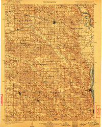
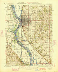
1903 Map of Kahoka
USGS Topo · Published 1903About this map
Kahoka serves as the central hub of this Northeast Missouri landscape at the beginning of the twentieth century, situated at the junction of the Chicago Rock Island and Pacific RR and the Atchison Topeka and Santa Fe RR. This rail-oriented settlement pattern is reflected across Clark and Lewis counties, where towns like Medill and Wyaconda thrive along the iron rails. To the east, the Mississippi River and Des Moines River define the state boundaries, with riverfront towns like Canton and St. Francisville anchoring the water-based trade routes. The terrain is deeply carved by an extensive drainage system including the North Fabius, Middle Fabius, and South Fabius River, alongside the Fox River. These waterways influenced the establishment of early centers such as Monticello and Lewistown, while numerous small hamlets like Antioch and Fairmont are scattered through the interior townships.
Find a feature on this map
74 named features on this map. Tap any name to fly to it.
Don’t see what you’re looking for? This feature index may not catch every label — zoom into the map to look around manually.
Map Details
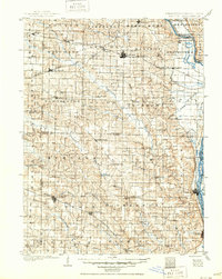
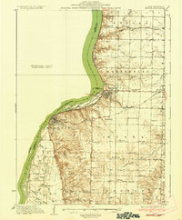
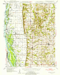
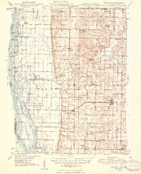
Editions of this 1903 Kahoka Map
3 editions found
Other maps of this area

1903 · Palmyra
USGS Topo · 1:125,000

1903 · Edina
USGS Topo · 1:125,000

1925 · Quincy
USGS Topo · 1:62,500
1936 · Keokuk
USGS Topo · 1:62,500
1936 · Fort Madison
USGS Topo · 1:62,500

1944 · Quincy
USGS Topo · 1:62,500
1945 · Quincy
USGS Topo · 1:62,500
1946 · Mendon
USGS Topo · 1:62,500

1948 · Quincy
USGS Topo · 1:250,000
1948 · Mendon
USGS Topo · 1:62,500