Loading...
Loading map...1945 Map of Quincy
USGS Topo · Published 1945About this map
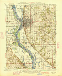
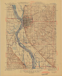
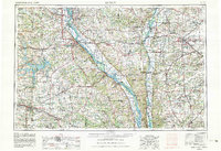
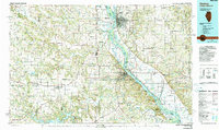
Quincy dominates the bluffs overlooking the Mississippi River, serving as a major rail hub for the Chicago Burlington and Quincy RR as it enters Illinois. The map captures a detailed landscape of public institutions and rural communities at the end of the war, including the Soldiers Home and a dense network of country schools such as St Ludgerus School and Franklin School.
Find a feature on this map
106 named features on this map. Tap any name to fly to it.
Don’t see what you’re looking for? This feature index may not catch every label — zoom into the map to look around manually.
Map Details
Date Portrayed1945
Date Published1945
PublisherU.S. Geological Survey
Map TypeTopographic
Scale1:62,500
Physical Dimensions16.9 x 20.8 inches
Editions of this 1945 Quincy Map
2 editions found
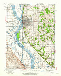
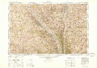
Historical Maps of Quincy Through Time
6 maps found

Featured Locations
Source Details
SourceU.S. Geological Survey
CopyrightPublic Domain