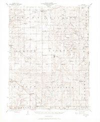
1925 Map of Liberty
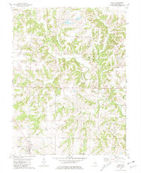
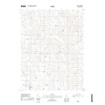
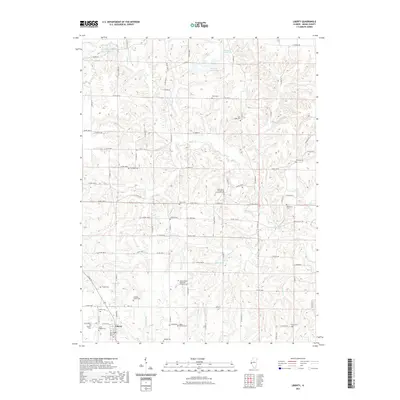
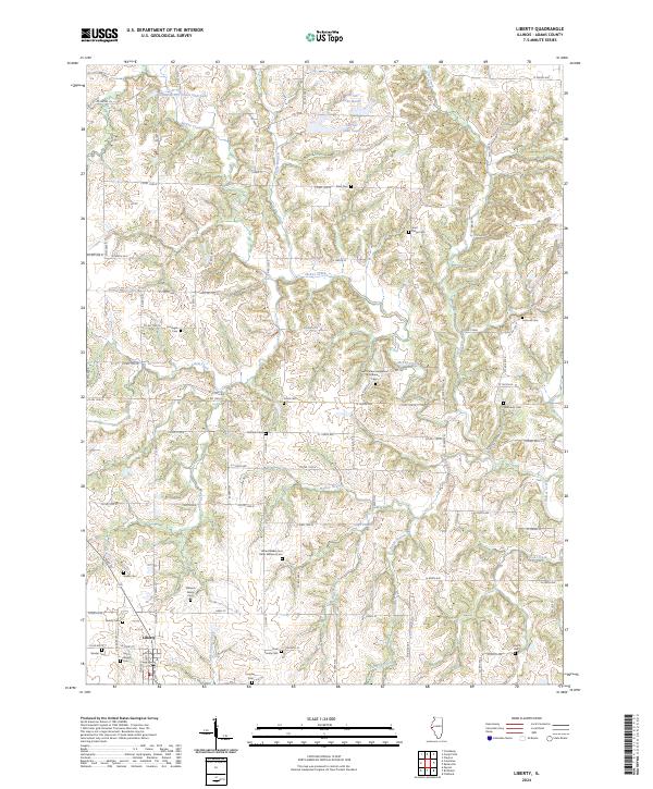
USGS Topo · Published 1972About this map
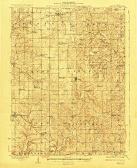
Liberty and its surrounding townships in the 1920s reveal a landscape defined by a high density of rural schoolhouses and neighborhood churches, reflecting the intensive small-farm settlement of western Illinois before mid-century consolidation. The topography is dissected by Mc Kee Creek and Hadley Creek, with many schools like Maple Grove School and St Joseph School situated near the headwaters of small drainages. The map records several small hamlets that served as local commercial hubs, including Payson, Plainville, and Columbus. Local social life is anchored by landmarks like Mt Pleasant Church and Pleasant Grove Church, while specialized features such as Lost Prairie Church and the Maynard School point to the dispersed but organized rural communities of the era. The intricate network of unimproved roads and creek crossings, including those over Fournear Creek and Mc Craney Creek, illustrates the local transit patterns before the development of modern highway systems.
Find a feature on this map
86 named features on this map. Tap any name to fly to it.
Don’t see what you’re looking for? This feature index may not catch every label — zoom into the map to look around manually.
Map Details
Editions of this 1925 Liberty Map
This is the sole edition of this map. No revisions or reprints were ever made.
Historical Maps of Payson Through Time
8 maps found