1932 Map of Hannibal
USGS Topo · Published 1932About this map
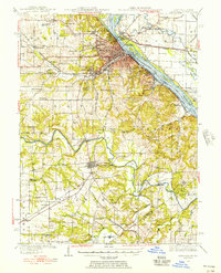
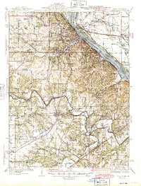
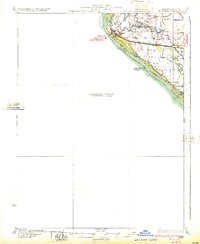
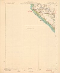
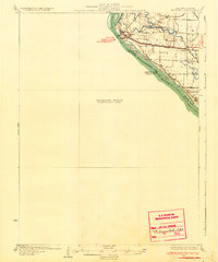
The Mississippi River forms a sharp bend along the western edge of this 1932 preliminary survey, dividing the established city of Hannibal from the low-lying bottomlands across the state line. On the Illinois side, a massive L E V E E structure protects the fertile basin defined by The Sny and numerous waterways like Bird Slough and Running Slough. This map captures a landscape characterized by isolated rural schoolhouses and small crossings, including Bird Slough Sch and the Old Smith Sch near Cincinnati. The rail network is well-documented, featuring the C B And Q and the Wabash lines that intersect at East Hannibal, while the presence of the Chenale Ecarte Club near Eagle Slough suggests the era's recreational use of the river's backwaters and islands, such as Saverton Island.
Find a feature on this map
34 named features on this map. Tap any name to fly to it.
Don’t see what you’re looking for? This feature index may not catch every label — zoom into the map to look around manually.
Map Details
Editions of this 1932 Hannibal Map
4 editions found
Historical Maps of Hannibal Through Time
3 maps found