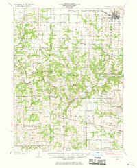
1936 Map of Barry
USGS Topo · Published 1936About this map
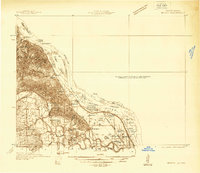
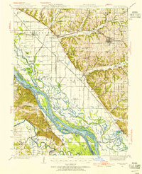
The Mississippi River creates a complex landscape of shifting islands and backwater chutes along the Missouri-Illinois border in the mid-1930s. The Salt River meanders into this riverine environment, feeding into the Mississippi River near Ashburn. This era shows a river system dominated by natural drainage patterns and seasonal changes, evidenced by numerous floodplain features like Horseshoe Lake, Flag Pond, and Big Fish Pond.
Find a feature on this map
50 named features on this map. Tap any name to fly to it.
Don’t see what you’re looking for? This feature index may not catch every label — zoom into the map to look around manually.
Map Details
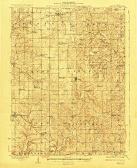
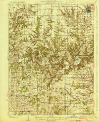
Editions of this 1936 Barry Map
2 editions found
Other maps of this area

1890 · Louisiana
USGS Topo · 1:125,000

1925 · Quincy
USGS Topo · 1:62,500
1925 · Liberty
USGS Topo · 1:62,500
1926 · Pittsfield
USGS Topo · 1:62,500
1926 · Mt Sterling
USGS Topo · 1:62,500
1927 · Liberty
USGS Topo · 1:62,500
1929 · Mt Sterling
USGS Topo · 1:62,500

1930 · Nebo
USGS Topo · 1:62,500

1931 · Barry
USGS Topo · 1:62,500

1932 · Hannibal
USGS Topo · 1:62,500