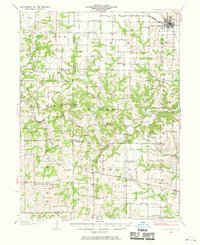
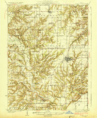
1926 Map of Mt Sterling
USGS Topo · Published 1970About this map
Mt Sterling and the surrounding rural townships of Brown and Pike counties are defined by a dense network of early 20th-century country schools and small agrarian hamlets. The landscape is deeply dissected by the McKee Creek system, where crossings like Shinnebarger Bridge and Wilson Ford provided vital connections between isolated farming communities. The Wabash RR corridor in the northeast corner serves as the primary industrial link, contrasting with the more remote western sections like Kellerville and Fishhook.
Find a feature on this map
95 named features on this map. Tap any name to fly to it.
Don’t see what you’re looking for? This feature index may not catch every label — zoom into the map to look around manually.
Map Details
Editions of this 1926 Mt Sterling Map
This is the sole edition of this map. No revisions or reprints were ever made.
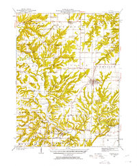
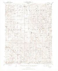
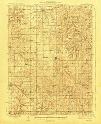
Other maps of this area
1923 · Rushville
USGS Topo · 1:62,500

1924 · Griggsville
USGS Topo · 1:62,500
1925 · Liberty
USGS Topo · 1:62,500

1926 · Griggsville
USGS Topo · 1:62,500
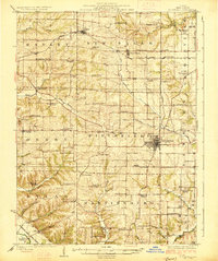
1926 · Pittsfield
USGS Topo · 1:62,500
1926 · Rushville
USGS Topo · 1:62,500
1927 · Liberty
USGS Topo · 1:62,500

1928 · Meredosia
USGS Topo · 1:62,500
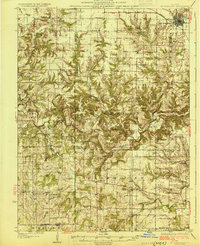
1929 · Mt Sterling
USGS Topo · 1:62,500

1931 · Barry
USGS Topo · 1:62,500