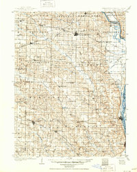
1903 Map of Kahoka
USGS Topo · Published 1950About this map
Kahoka serves as a central hub in this northeast Missouri landscape, surveyed during a period of significant regional rail expansion. Four major lines, including the Atchison Topeka and Santa Fe RR and the Quincy Omaha and Kansas City RR, weave through the terrain, connecting small shipping points like Medill and Wyaconda. The confluence of the Des Moines River and the Mississippi River near St. Francisville anchors the eastern border, where the river-and-rail economy shaped early 20th-century commerce. Further south, the county seat of Monticello sits along the Middle Fabius River, surrounded by rural townships like Reddish and Dickerson. Local history researchers will find a dense network of early settlements such as Williamstown, Fairmont, and Forest Springs, many of which were established before the consolidation of these transportation corridors.
Find a feature on this map
88 named features on this map. Tap any name to fly to it.
Don’t see what you’re looking for? This feature index may not catch every label — zoom into the map to look around manually.
Map Details
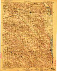
Editions of this 1903 Kahoka Map
3 editions found
Other maps of this area

1903 · Kahoka
USGS Topo · 1:125,000

1903 · Palmyra
USGS Topo · 1:125,000

1903 · Edina
USGS Topo · 1:125,000

1925 · Quincy
USGS Topo · 1:62,500

1936 · Keokuk
USGS Topo · 1:62,500

1936 · Fort Madison
USGS Topo · 1:62,500

1944 · Quincy
USGS Topo · 1:62,500

1945 · Quincy
USGS Topo · 1:62,500

1946 · Mendon
USGS Topo · 1:62,500

1948 · Quincy
USGS Topo · 1:250,000