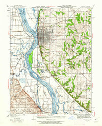
1948 Map of Quincy
USGS Topo · Published 1948About this map
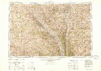
The Mississippi River and Illinois River converge toward the bottom of this mid-century regional study, defining a landscape shaped by river commerce and major rail arteries. Significant rail infrastructure, including the Wabash RR, Gulf Mobile and Ohio, and Burlington Lines, radiates from hubs like Quincy and Jacksonville, reflecting the post-war importance of these transit corridors. The riverine landscape is highly detailed, showing numerous islands such as Hurricane Island and Gilbert Island, alongside secondary waterways like the Salt River and North Fabius River.
Find a feature on this map
77 named features on this map. Tap any name to fly to it.
Don’t see what you’re looking for? This feature index may not catch every label — zoom into the map to look around manually.
Map Details
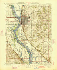
Editions of this 1948 Quincy Map
2 editions found
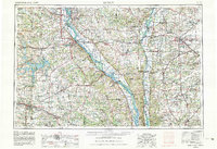
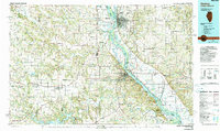
Historical Maps of Quincy Through Time
6 maps found