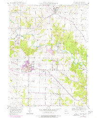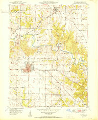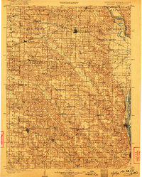
1903 Map of Kahoka
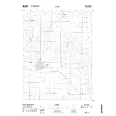
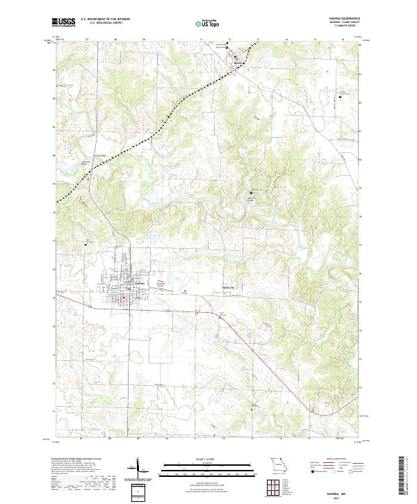
USGS Topo · Published 1922About this map
Kahoka serves as the central hub of this Northeast Missouri landscape at the beginning of the twentieth century, situated at a critical junction where the northern plains meet the river bottoms. The territory is defined by a dense network of watercourses, including the Des Moines River forming the northern border with Iowa and the Mississippi River framing the eastern edge at Canton and Lagrange. The terrain between these rivers is carved by the Wyaconda River and the three forks of the Fabius, creating a complex topography of ridges and valleys that dictated early settlement patterns.
Find a feature on this map
76 named features on this map. Tap any name to fly to it.
Don’t see what you’re looking for? This feature index may not catch every label — zoom into the map to look around manually.
Map Details
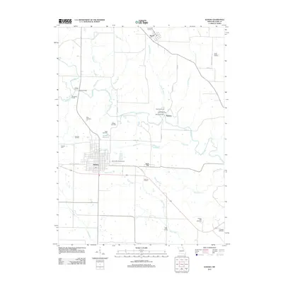
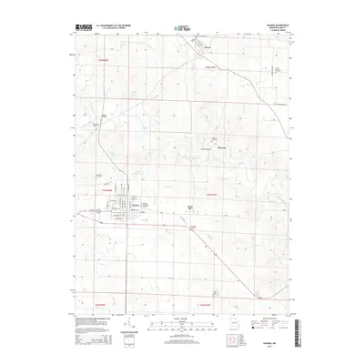
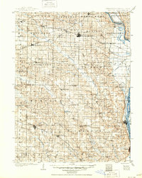
Editions of this 1903 Kahoka Map
3 editions found

Historical Maps of Canton Through Time
7 maps found