Loading...
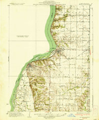
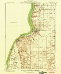
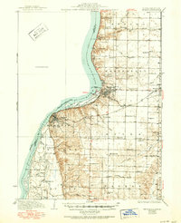
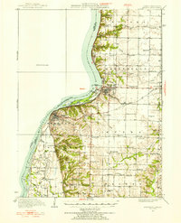
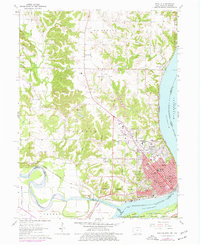
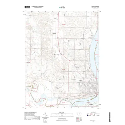
Loading map...1936 Map of Keokuk
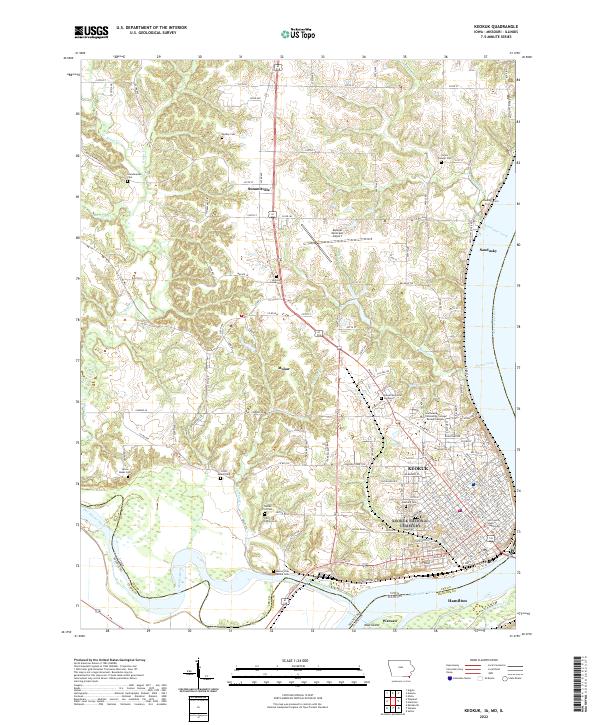
USGS Topo · Published 1936About this map
The Keokuk Dam anchors this mid-1930s landscape, where the Mississippi River widens into Keokuk Lake. On the Illinois side, the riverbank is a complex network of channels and islands including Hackley Island, Taylor Island, and Kauffman Slough. The topography transitions from the alluvial bottomlands of Wilcox and Rocky Run to the dissected uplands of Montebello and Sonora, revealing a rural infrastructure of one-room schools such as Froggy Sch and Green Plain Sch.
Find a feature on this map
66 named features on this map. Tap any name to fly to it.
Don’t see what you’re looking for? This feature index may not catch every label — zoom into the map to look around manually.
Map Details
Date Portrayed1936
Date Published1936
PublisherU.S. Geological Survey
Map TypeTopographic
Scale1:62,500
Physical Dimensions16.4 x 19.8 inches
Editions of this 1936 Keokuk Map
3 editions found
Historical Maps of Keokuk Through Time
9 maps found

Featured Locations
Source Details
SourceU.S. Geological Survey
CopyrightPublic Domain