
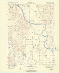
1949 Map of Wayland
USGS Topo · Published 1954About this map
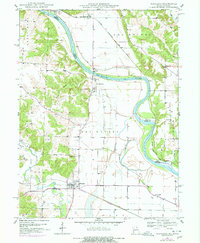
The Des Moines River defines the border between Clark County, Missouri, and Lee County, Iowa, in this 1949 topographic survey. The landscape is marked by the distinct shift between the river's floodplain and the upland terrain of Sweet Home and Madison. A Toll Bridge connects the riverside settlement of St Francisville to the Iowa shore, while the town of Wayland serves as a local hub further inland.
Find a feature on this map
31 named features on this map. Tap any name to fly to it.
Don’t see what you’re looking for? This feature index may not catch every label — zoom into the map to look around manually.
Map Details
Editions of this 1949 Wayland Map
3 editions found
Other maps of this area

1903 · Kahoka
USGS Topo · 1:125,000

1936 · Keokuk
USGS Topo · 1:62,500

1936 · Fort Madison
USGS Topo · 1:62,500

1949 · Kahoka SE
USGS Topo · 1:24,000

1949 · Kahoka
USGS Topo · 1:24,000

1949 · St. Patrick
USGS Topo · 1:24,000

1950 · Kahoka
USGS Topo · 1:24,000

1950 · Saint Patrick
USGS Topo · 1:24,000

1950 · Kahoka SE
USGS Topo · 1:24,000

1950 · Wayland
USGS Topo · 1:24,000