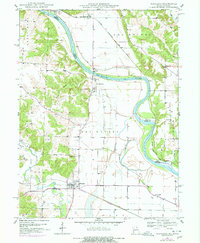
1949 Map of Wayland
USGS Topo · Published 1977About this map
St Francisville and the town of Wayland anchor this mid-century survey of the borderlands where the Des Moines River separates Missouri from Iowa. The landscape is defined by the winding paths of the Des Moines and Fox River, protected by extensive levee systems. In the years following the war, transportation remained central to local life, evidenced by the Chicago Rock Island and Pacific railroad crossing into Iowa at the Toll Bridge, and the Burlington Northern line running through the southern plains. Genealogists will find several distinct burial grounds, including Oakland Cem, Wolf Cem, and multiple locations of Sand Cem. The rural social fabric is further mapped through scattered country schools like Independent Sch and Jenkins Sch, and the presence of the Gun Club near the river bottoms.
Find a feature on this map
32 named features on this map. Tap any name to fly to it.
Don’t see what you’re looking for? This feature index may not catch every label — zoom into the map to look around manually.
Map Details
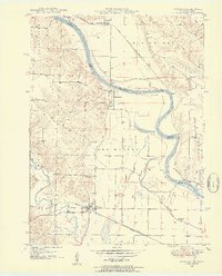
Editions of this 1949 Wayland Map
3 editions found
Other maps of this area

1903 · Kahoka
USGS Topo · 1:125,000

1936 · Keokuk
USGS Topo · 1:62,500

1936 · Fort Madison
USGS Topo · 1:62,500

1949 · Wayland
USGS Topo · 1:24,000

1949 · Kahoka SE
USGS Topo · 1:24,000

1949 · Kahoka
USGS Topo · 1:24,000

1949 · St. Patrick
USGS Topo · 1:24,000

1950 · Kahoka
USGS Topo · 1:24,000

1950 · Saint Patrick
USGS Topo · 1:24,000

1950 · Kahoka SE
USGS Topo · 1:24,000