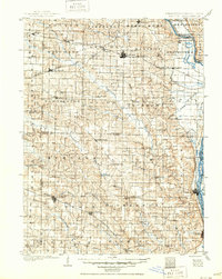
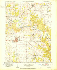
1950 Map of Kahoka
USGS Topo · Published 1950About this map
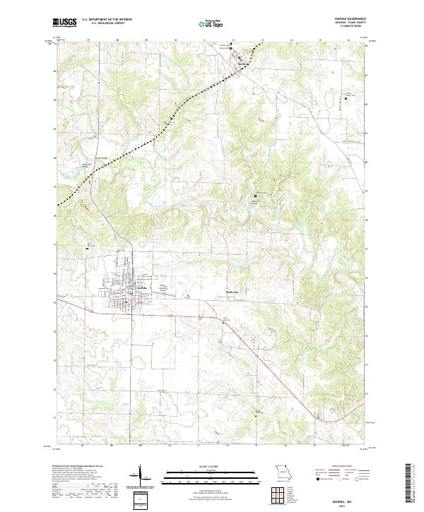
Kahoka serves as the focal point of this mid-century Northeast Missouri landscape, where the Chicago Burlington and Quincy railroad intersects the town's street grid near the County Fairgrounds. The map reveals a robust educational and religious network across the rural townships of Lincoln, Madison, and Jefferson, featuring numerous country schools like Lincoln College Sch and Pleasant View Sch, alongside local landmarks like Grace Chapel. To the north, the Atchison Topeka and Santa Fe railroad crosses the Fox River and its tributaries, including Little Fox River and Honey Creek. The presence of several historic cemeteries, such as St Paul Cem and the Waterloo Cem, offers significant detail for genealogists tracing family roots in this corner of Missouri shortly after the second World War.
Find a feature on this map
38 named features on this map. Tap any name to fly to it.
Don’t see what you’re looking for? This feature index may not catch every label — zoom into the map to look around manually.
Map Details
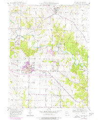
Editions of this 1950 Kahoka Map
3 editions found

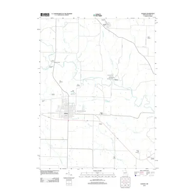
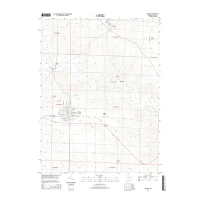
Historical Maps of Kahoka Through Time
7 maps found