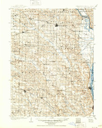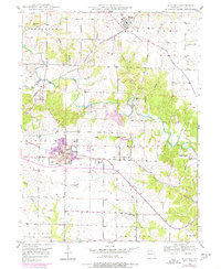
1949 Map of Kahoka
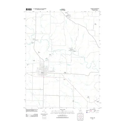
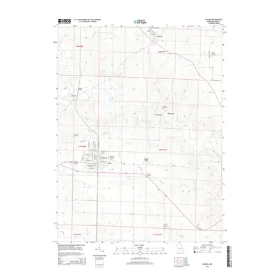
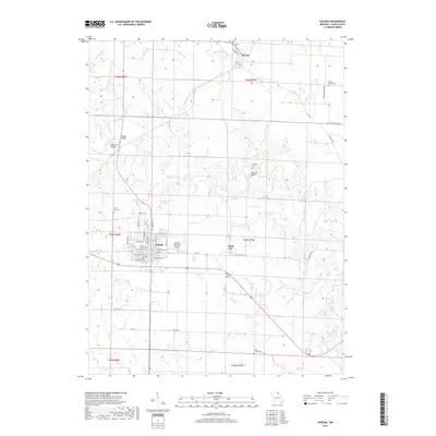
USGS Topo · Published 1977About this map
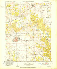
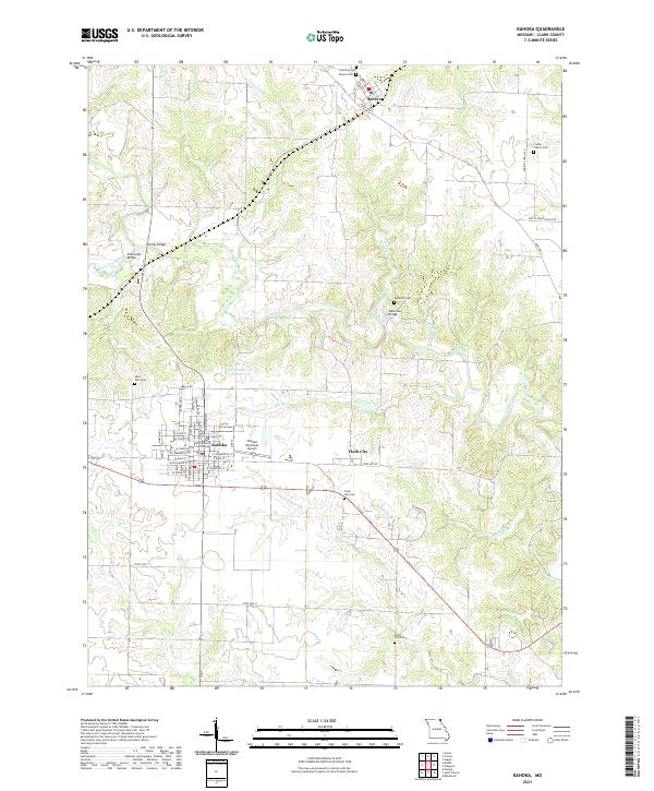
The town of Kahoka serves as the central hub of this Missouri survey, which details a landscape of prairie agriculture and stream-carved terrain in Clark County. A dense network of rural infrastructure is documented, from the County Fairgrounds on the eastern edge of the seat to a scattered system of schoolhouses that once anchored local townships, including Oak Grove Sch, Star Sch, and Oak Ridge Sch. The Fox River meanders through the eastern half of the map, while its tributaries like Honey Creek and Sugar Creek define the surrounding topography.
Find a feature on this map
41 named features on this map. Tap any name to fly to it.
Don’t see what you’re looking for? This feature index may not catch every label — zoom into the map to look around manually.
Map Details
Editions of this 1949 Kahoka Map
This is the sole edition of this map. No revisions or reprints were ever made.
Historical Maps of Kahoka Through Time
7 maps found