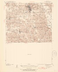
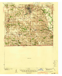
1958 Map of Centerville
USGS Topo · Published 1958About this map
Centerville and Ottumwa anchor this mid-century portrait of the rolling borderlands between southern Iowa and northern Missouri. The landscape is defined by a dense network of southward-flowing waterways, including the Chariton River, Grand River, and the Thompson River, which carved the regional topography long before the arrival of the rails. The industrial and transit patterns of the 1950s are clearly visible through the extensive tracks of the Chicago Burlington and Quincy and the Wabash railroads, which connected agricultural hubs like Bloomfield, Chariton, and Kirksville to larger markets.
Find a feature on this map
65 named features on this map. Tap any name to fly to it.
Don’t see what you’re looking for? This feature index may not catch every label — zoom into the map to look around manually.
Map Details
Editions of this 1958 Centerville Map
This is the sole edition of this map. No revisions or reprints were ever made.
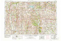
Historical Maps of Ottumwa Through Time
6 maps found