2022 Map of Arcadia
USGS Topo · Published 2022About this map
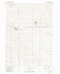
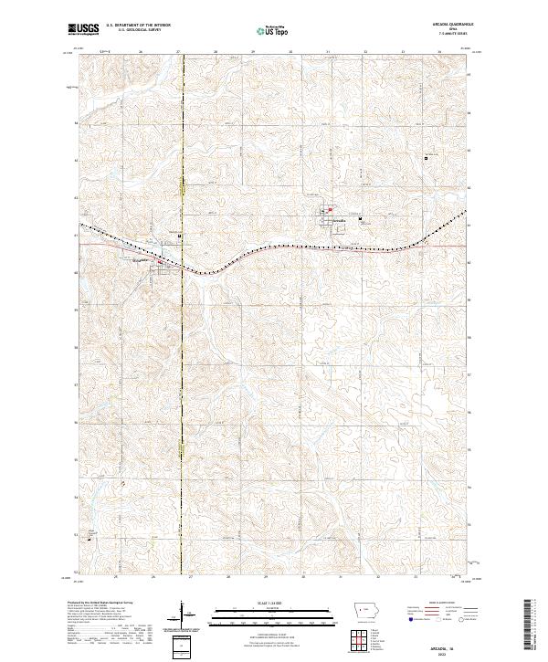
The E Boyer River and the headwaters of the W Nishnabotna River converge in this section of West-Central Iowa, where the landscape is defined by the continental divide between the Missouri and Mississippi watersheds. The town of Arcadia sits at a high point along this divide, serving as a focal point for local transport and commerce. To the west, the settlement of Westside is established along the rail corridor, flanked by several smaller watercourses including Miller Cr and Brushy Cr. This survey provides a clear view of the rural township structure, documented through the placement of Hayes Township Cem and Saint Johns Cem. The intersection of Co Rd M68 and various range roads like H Ave and L Ave illustrates the enduring importance of the section-line grid in organizing the agricultural operations of Crawford and Carroll counties.
Find a feature on this map
42 named features on this map. Tap any name to fly to it.
Don’t see what you’re looking for? This feature index may not catch every label — zoom into the map to look around manually.
Map Details
Editions of this 2022 Arcadia Map
This is the sole edition of this map. No revisions or reprints were ever made.