Loading...
Loading map...2024 Map of Arcola
USGS Topo · Published 2024About this map
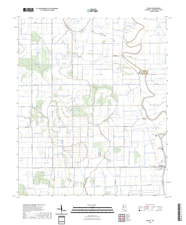
The delta lowlands of Washington County are dominated by the sprawling conservation lands of the Theodore Roosevelt National Wildlife Refuge, which spans several townships south of Wilmot. The landscape is defined by the winding course of Deer Creek and Swiftwater Bayou, which navigate a grid of rural roads and agricultural plots. Small settlements like Arcola and Burdette serve as anchors for the surrounding farming community, connected by historical routes such as Old Hwy 61.
Find a feature on this map
51 named features on this map. Tap any name to fly to it.
Don’t see what you’re looking for? This feature index may not catch every label — zoom into the map to look around manually.
Map Details
Date Portrayed2024
Date Published2024
PublisherU.S. Geological Survey
Map TypeTopographic
Scale1:24000
Physical Dimensions24 x 29 inches
Editions of this 2024 Arcola Map
This is the sole edition of this map. No revisions or reprints were ever made.
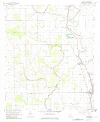
Historical Maps of Aldridge Through Time
Featured Locations
Source Details
SourceU.S. Geological Survey
CopyrightPublic Domain