2022 Map of Arlington
USGS Topo · Published 2022About this map
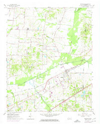
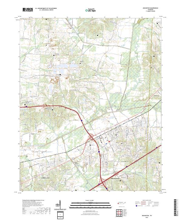
The town of Arlington anchors a landscape defined by significant water management and a dense network of family-named landmarks. The Loosahatchie River Canal and the Loosahatchie River Drainage Canal dominate the central topography, reflecting the historical engineering efforts to manage the wetlands of northeast Shelby County. These man-made channels are supplemented by the Beaver Cr Canal and Cypress Creek Canal, illustrating how the natural hydrology has been altered for agriculture and development over decades.
Find a feature on this map
141 named features on this map. Tap any name to fly to it.
Don’t see what you’re looking for? This feature index may not catch every label — zoom into the map to look around manually.
Map Details
Editions of this 2022 Arlington Map
This is the sole edition of this map. No revisions or reprints were ever made.