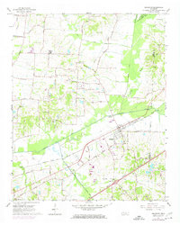
1965 Map of Arlington
USGS Topo · Published 1974About this map
Arlington serves as the central hub of this West Tennessee landscape, situated along the Louisville and Nashville railroad corridor. The town's mid-century footprint is detailed with infrastructure like the Arlington Airport, a Waterworks, and the Arlington Sch. To the north, the terrain transitions into agricultural land defined by Pleasant Ridge and the Loosahatchie River valley.
Find a feature on this map
67 named features on this map. Tap any name to fly to it.
Don’t see what you’re looking for? This feature index may not catch every label — zoom into the map to look around manually.
Map Details
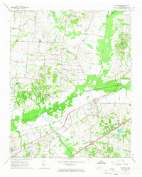
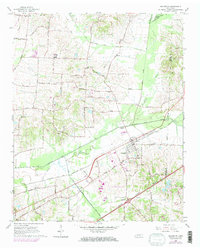
Editions of this 1965 Arlington Map
3 editions found
Other maps of this area

1942 · Millington
USGS Topo · 1:62,500

1943 · Collierville
USGS Topo · 1:62,500

1953 · Collierville
USGS Topo · 1:50,000

1954 · Mason
USGS Topo · 1:62,500

1956 · Blytheville
USGS Topo · 1:250,000

1959 · Blytheville
USGS Topo · 1:250,000

1960 · Bartlett
USGS Topo · 1:62,500

1960 · Millington
USGS Topo · 1:62,500

1961 · Bartlett
USGS Topo · 1:62,500
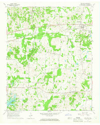
1965 · Oakland
USGS Topo · 1:24,000