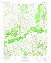
1965 Map of Arlington
USGS Topo · Published 1966About this map
Arlington serves as the focal point of this mid-1960s survey, situated where the Louisville and Nashville Railroad crosses the Loosahatchie River drainage. The landscape is defined by an extensive system of drainage improvements, including the Beaver Creek Canal, Clear Creek Canal, and Cypress Creek Canal, reflecting a managed hydraulic environment designed to support the surrounding agricultural lands. Notable rural infrastructure includes Barret Chapel High Sch and Arlington Sch, which anchored the educational life of the community during this era.
Find a feature on this map
57 named features on this map. Tap any name to fly to it.
Don’t see what you’re looking for? This feature index may not catch every label — zoom into the map to look around manually.
Map Details
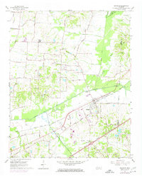
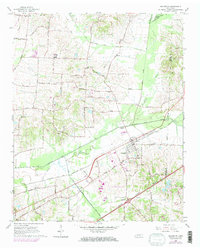
Editions of this 1965 Arlington Map
3 editions found
Other maps of this area

1942 · Millington
USGS Topo · 1:62,500

1943 · Collierville
USGS Topo · 1:62,500

1953 · Collierville
USGS Topo · 1:50,000

1954 · Mason
USGS Topo · 1:62,500

1956 · Blytheville
USGS Topo · 1:250,000

1959 · Blytheville
USGS Topo · 1:250,000

1960 · Bartlett
USGS Topo · 1:62,500

1960 · Millington
USGS Topo · 1:62,500

1961 · Bartlett
USGS Topo · 1:62,500
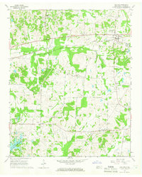
1965 · Oakland
USGS Topo · 1:24,000