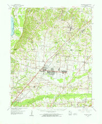
1960 Map of Millington
USGS Topo · Published 1963About this map
The U S Naval Air Technical Training Center and the Millington Municipal Air Park anchor the center of this 1960s survey, illustrating the significant military and aviation footprint in this region north of Memphis. The Illinois Central railroad corridor facilitates movement between the established settlements of Millington and Munford, cutting through a landscape defined by its agricultural character and extensive church and cemetery networks. Rural life is evidenced by the high density of community landmarks such as Campbell Chapel, Temple Ch, and St Paul Sch & Ch.
Find a feature on this map
105 named features on this map. Tap any name to fly to it.
Don’t see what you’re looking for? This feature index may not catch every label — zoom into the map to look around manually.
Map Details
Editions of this 1960 Millington Map
This is the sole edition of this map. No revisions or reprints were ever made.
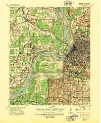
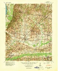
Other maps of this area

1916 · Memphis
USGS Topo · 1:62,500

1925 · Memphis
USGS Topo · 1:48,000

1927 · Memphis
USGS Topo · 1:62,500

1931 · Jericho
USGS Topo · 1:62,500

1939 · Jericho
USGS Topo · 1:62,500
1939 · Memphis
USGS Topo · 1:62,500

1939 · Evadale
USGS Topo · 1:62,500
1942 · Millington
USGS Topo · 1:62,500

1943 · Collierville
USGS Topo · 1:62,500

1952 · Jericho
USGS Topo · 1:62,500