
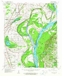
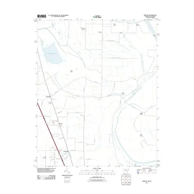
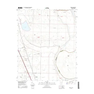
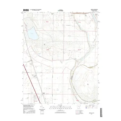
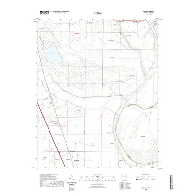
1939 Map of Jericho
USGS Topo · Published 1941About this map
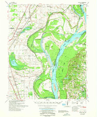
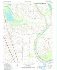
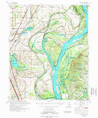
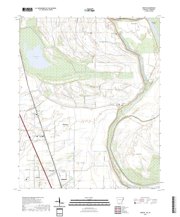
Mississippi River meanders define the volatile border between Arkansas and Tennessee, revealing a landscape of shifting channels and reclaimed oxbows. The serpentine path of the river includes the Centennial Cut-Off 1876, which isolated large landmasses like Centennial Island and Brandywine Island. On the Arkansas side, a complex drainage network featuring Ditch No 4 and Ditch No 10 cuts through the lowlands near Jericho and Clarkdale, supporting a region reliant on both rail and water transport.
Find a feature on this map
88 named features on this map. Tap any name to fly to it.
Don’t see what you’re looking for? This feature index may not catch every label — zoom into the map to look around manually.
Map Details
Editions of this 1939 Jericho Map
This is the sole edition of this map. No revisions or reprints were ever made.
Historical Maps of Memphis Through Time
12 maps found

1931 Jericho
Crittenden County, AR
1939 Jericho
Crittenden County, AR

1952 Jericho
Crittenden County, AR
1961 Jericho
Crittenden County, AR
1962 Jericho
Crittenden County, AR
1970 Jericho
Crittenden County, AR
1975 Jericho
Crittenden County, AR
2011 Jericho
Crittenden County, AR
2014 Jericho
Crittenden County, AR
2017 Jericho
Crittenden County, AR
2020 Jericho
Crittenden County, AR
2024 Jericho
Crittenden County, AR