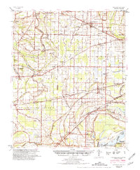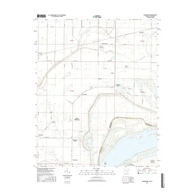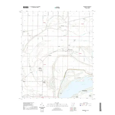
1939 Map of Edmondson
USGS Topo · Published 1942About this map
Edmondson and the surrounding alluvial plains of Crittenden County and St Francis County are defined here by an intricate system of drainage ditches and bayous. In the final years before the 1940s, the landscape is heavily shaped by the St Louis San Francisco RR and the Chicago Rock Island and Pacific RR, which serve numerous small agricultural communities and spurs like Mallory Spur. The mapping reveals a high density of combined social institutions, such as New Shady Grove Ch Sch & Cem and Corinthian Ch & Cem, suggesting a tightly-knit rural society where churches, schools, and cemeteries often occupied the same grounds. Ancient transit corridors like the Old Military Road persist alongside newer infrastructure. Extensive water features including Fifteen Mile Bayou and Blackfish Lake illustrate the complex hydrology of the delta region just west of the Mississippi River.
Find a feature on this map
95 named features on this map. Tap any name to fly to it.
Don’t see what you’re looking for? This feature index may not catch every label — zoom into the map to look around manually.
Map Details
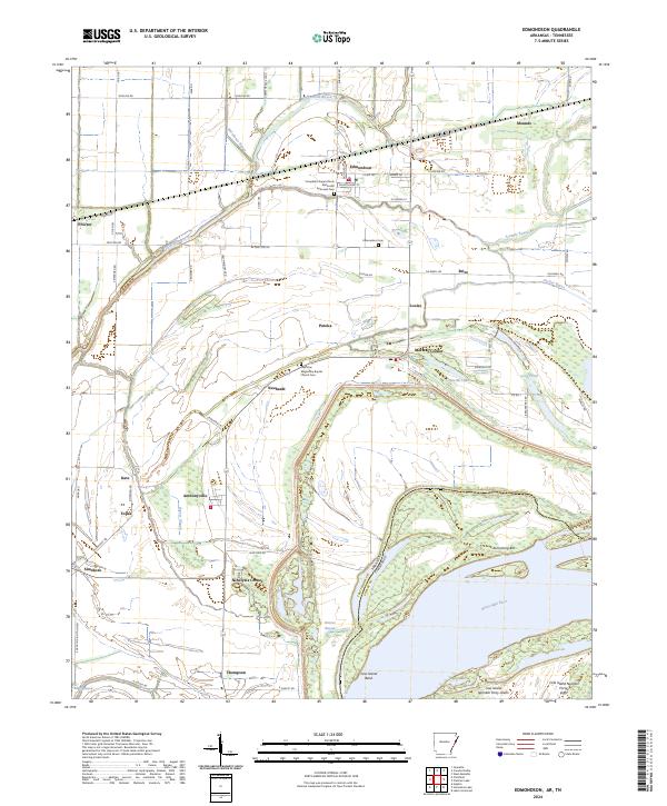
Editions of this 1939 Edmondson Map
This is the sole edition of this map. No revisions or reprints were ever made.
Historical Maps of Memphis Through Time
8 maps found