
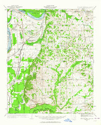
1932 Map of Horn Lake
USGS Topo · Published 1932About this map
Horn Lake and the winding course of the Mississippi River dominate this landscape during the early 1930s, a period when the river's influence on the De Soto County border was still sharply defined by features like Loosahatchie Bar and Cat Island. The map illustrates a transitional geography where the alluvial floodplain meets the rising uplands to the east. Transportation is anchored by the Illinois Central RR and ST Louis San Francisco RR, which supported small agricultural hubs and stops such as Walls, Nesbit, and Lake Cormorant.
Find a feature on this map
89 named features on this map. Tap any name to fly to it.
Don’t see what you’re looking for? This feature index may not catch every label — zoom into the map to look around manually.
Map Details
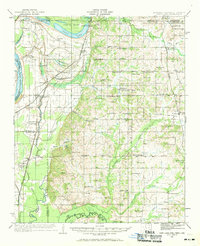
Editions of this 1932 Horn Lake Map
3 editions found
Other maps of this area

1908 · Hollywood
USGS Topo · 1:24,000

1908 · Lake Cormorant
USGS Topo · 1:24,000

1912 · Lake Cormorant
USGS Topo · 1:31,680

1913 · Hollywood
USGS Topo · 1:31,680

1916 · Memphis
USGS Topo · 1:62,500

1925 · Memphis
USGS Topo · 1:48,000

1927 · Memphis
USGS Topo · 1:62,500

1931 · Horseshoe Lake
USGS Topo · 1:62,500

1932 · Crenshaw
USGS Topo · 1:62,500

1935 · Crenshaw
USGS Topo · 1:62,500