
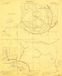
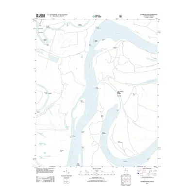
1908 Map of Hollywood
USGS Topo · Published 1961About this map
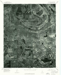
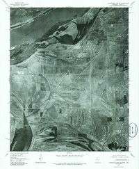
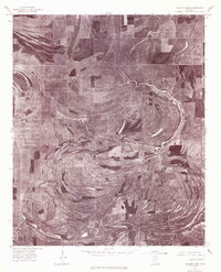
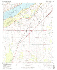
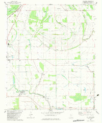
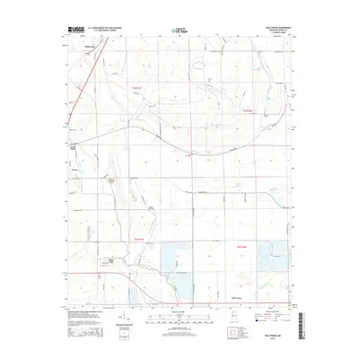
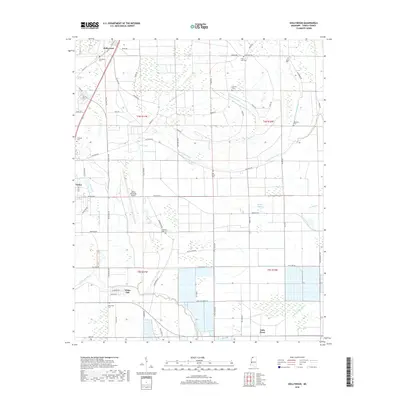
Meandering waterways and seasonal wetlands define this 1908 survey of Tunica County, where the Tallahatchie Drainage Commission oversaw a landscape shaped by the shifting currents of the Mississippi Delta. The intricate network of bayous, including the prominent curves of Minton Bayou and Buck Island Bayou, illustrates a period when local navigation and water management were central to the region's development. Scattered throughout this alluvial plain are the gathering places of early twentieth-century rural life, such as Corinth Church, Oak Grove Church, and Moon Chapel. The map reveals the natural hydrology of the area before modern levee systems reached their full maturity, preserved in the detailed outlines of Jasper Lake and Fish Lake. This document represents a primary source for understanding the early drainage efforts and religious geography of the North Mississippi Delta.
Find a feature on this map
15 named features on this map. Tap any name to fly to it.
Don’t see what you’re looking for? This feature index may not catch every label — zoom into the map to look around manually.
Map Details
Editions of this 1908 Hollywood Map
This is the sole edition of this map. No revisions or reprints were ever made.
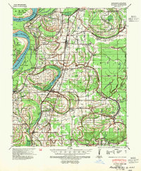
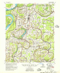
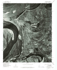
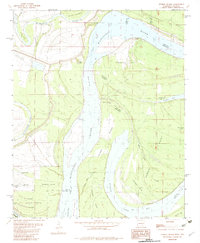
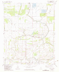
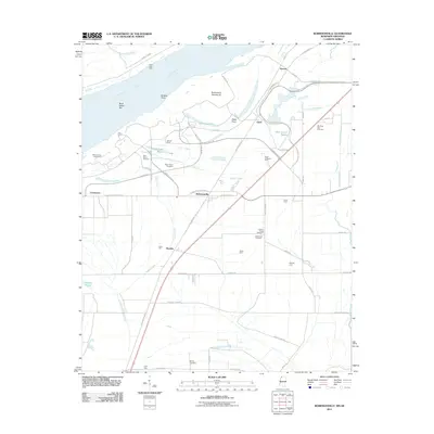
Historical Maps of Tunica Through Time
35 maps found
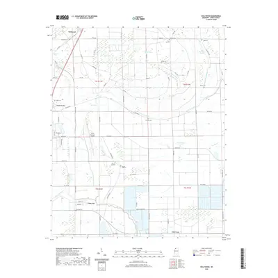
1908 Hollywood
Tunica County, MS

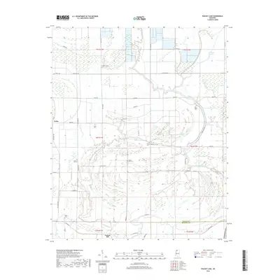
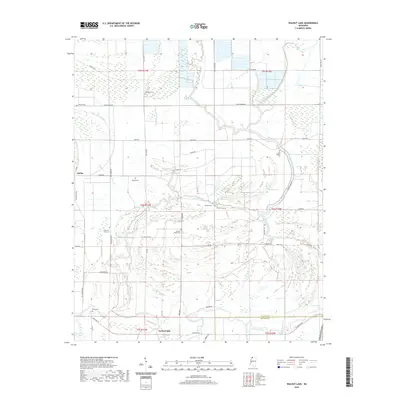
1908 Walnut Lake
Tunica County, MS

1910 Walnut Lake
Tunica County, MS
1913 Hollywood
Tunica County, MS
1939 Clayton
Tunica County, MS
1955 Clayton
Tunica County, MS
1975 Clayton NW
Tunica County, MS
1975 Hollywood
Tunica County, MS
1975 Horseshoe Lake SE
Tunica County, MS
1975 Walnut Lake
Tunica County, MS
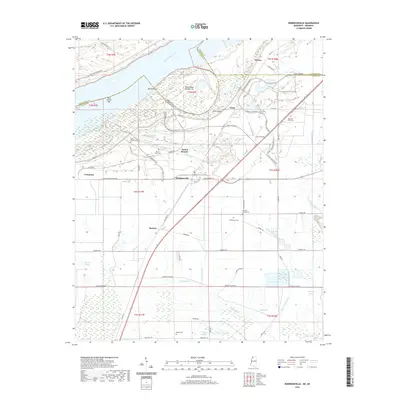
1981 Robinsonville
Tunica County, MS
1982 Hollywood
Tunica County, MS
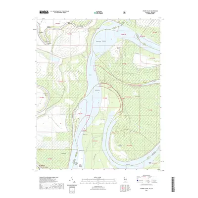
1982 Stubbs Island
Tunica County, MS
1982 Walnut Lake
Tunica County, MS
2011 Robinsonville
Tunica County, MS
2011 Stubbs Island
Tunica County, MS
2012 Hollywood
Tunica County, MS
2012 Robinsonville
Tunica County, MS
2012 Walnut Lake
Tunica County, MS
2015 Hollywood
Tunica County, MS
2015 Robinsonville
Tunica County, MS
2015 Stubbs Island
Tunica County, MS
2015 Walnut Lake
Tunica County, MS
2018 Hollywood
Tunica County, MS
2018 Robinsonville
Tunica County, MS
2018 Stubbs Island
Tunica County, MS
2018 Walnut Lake
Tunica County, MS
2020 Hollywood
Tunica County, MS
2020 Robinsonville
Tunica County, MS
2020 Walnut Lake
Tunica County, MS
2021 Stubbs Island
Tunica County, MS
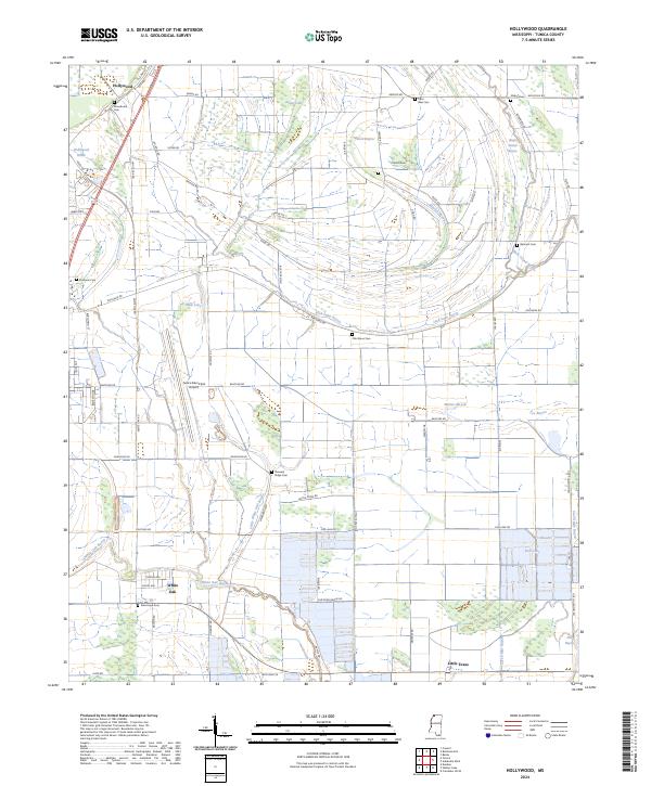
2024 Hollywood
Tunica County, MS
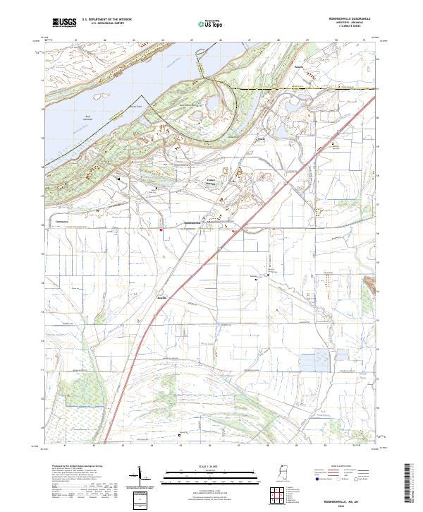
2024 Robinsonville
Tunica County, MS
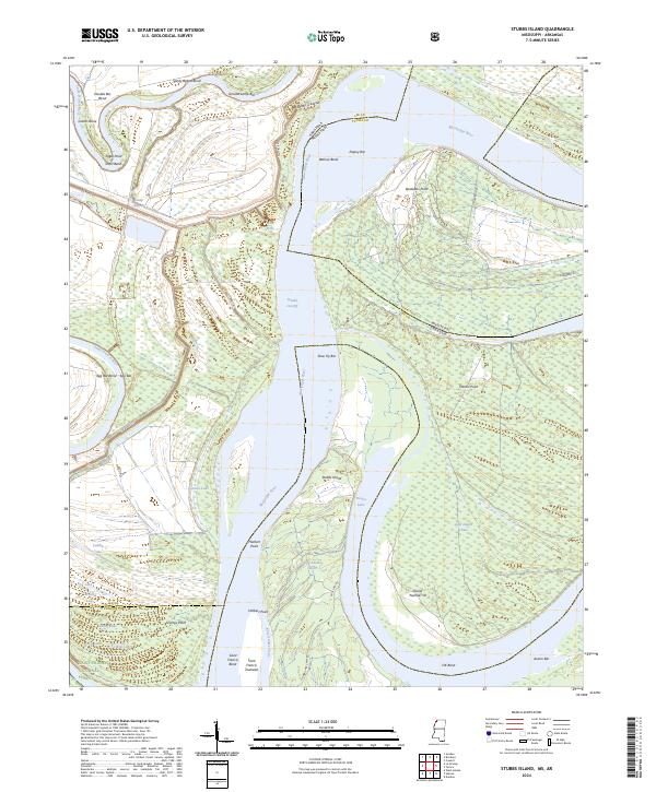
2024 Stubbs Island
Tunica County, MS
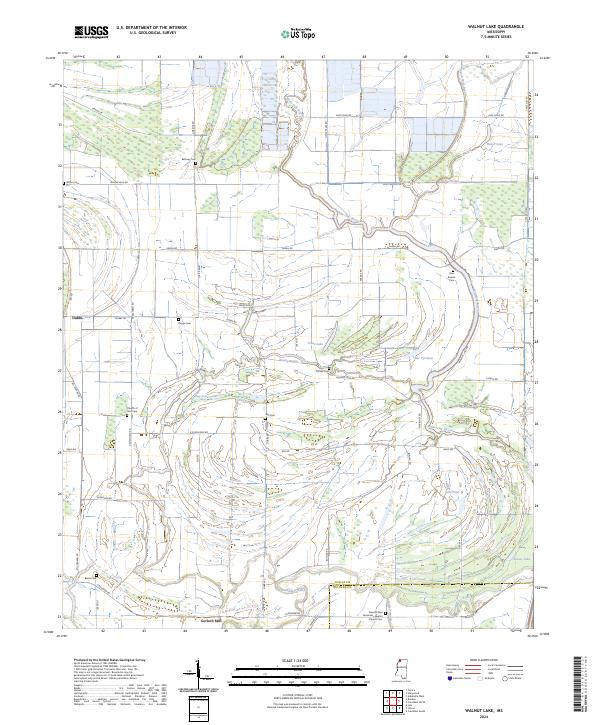
2024 Walnut Lake
Tunica County, MS