
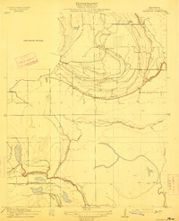
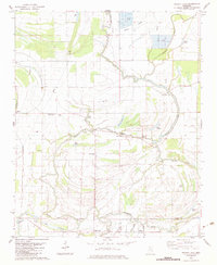
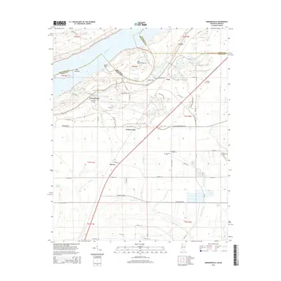
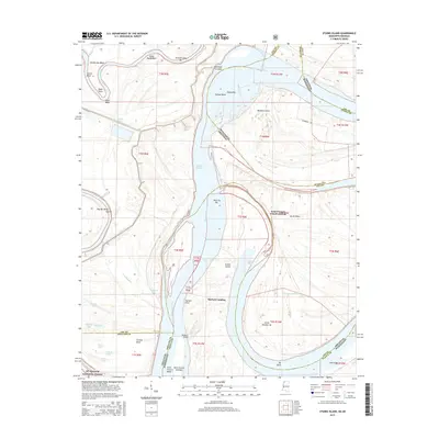
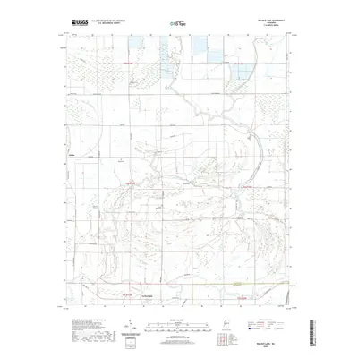
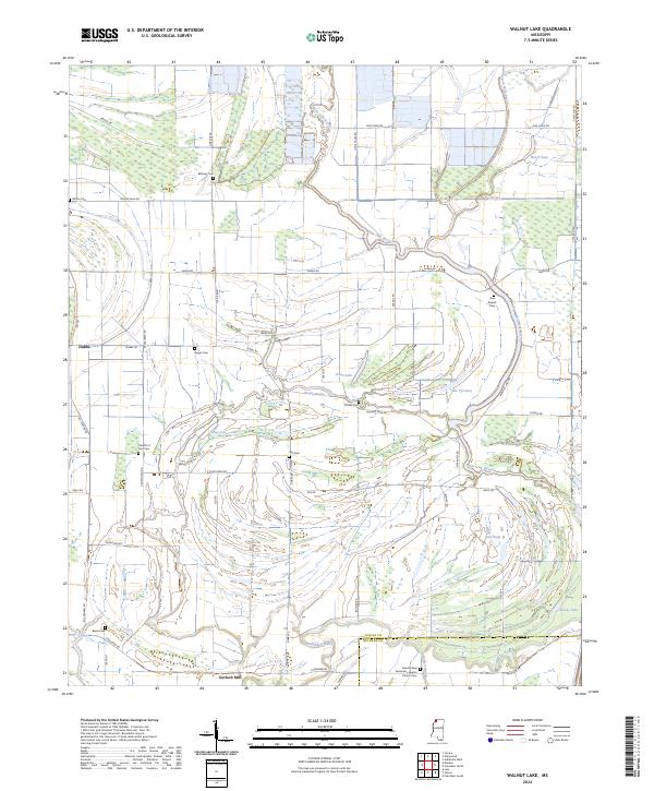
1908 Map of Walnut Lake
USGS Topo · Published 1961About this map
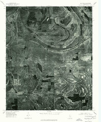
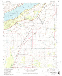
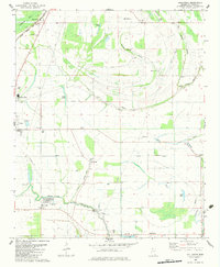
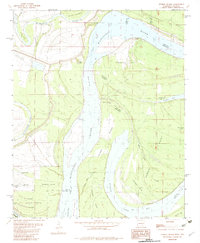
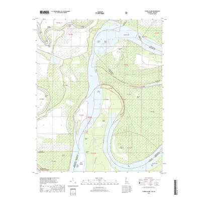
The Coldwater River and its intricate network of oxbow lakes and bayous define this alluvial landscape along the Tunica and Quitman county line. Surveyed at the dawn of the twentieth century, the map reveals a delta environment where water dictates the pattern of life. Small settlements like Dubbs, Pink, and Hally appear as focal points in a region dominated by drainage and river dynamics. The presence of the Walnut Lake School and Gerbach Mill suggests the early industrial and social foundations of these rural Mississippi communities.
Find a feature on this map
20 named features on this map. Tap any name to fly to it.
Don’t see what you’re looking for? This feature index may not catch every label — zoom into the map to look around manually.
Map Details
Editions of this 1908 Walnut Lake Map
This is the sole edition of this map. No revisions or reprints were ever made.
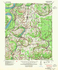
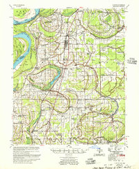
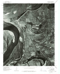
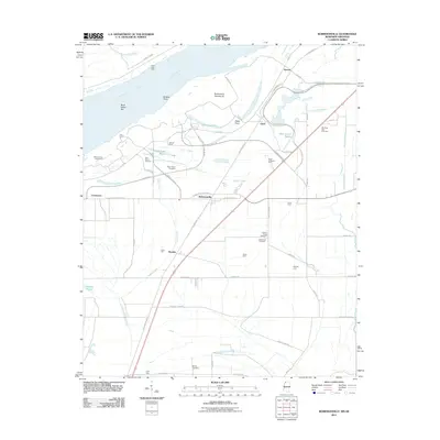
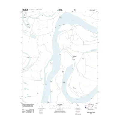
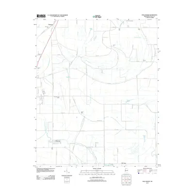
Historical Maps of Hally Through Time
35 maps found

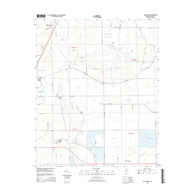
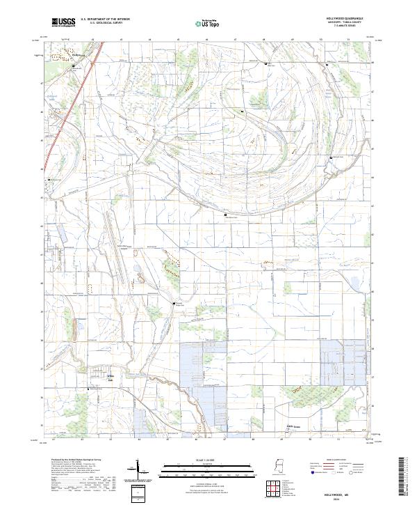
1908 Hollywood
Tunica County, MS
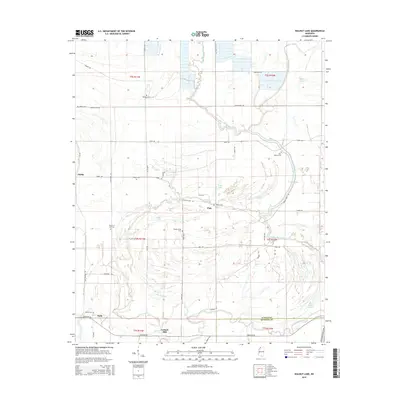
1908 Walnut Lake
Tunica County, MS

1910 Walnut Lake
Tunica County, MS
1913 Hollywood
Tunica County, MS
1939 Clayton
Tunica County, MS
1955 Clayton
Tunica County, MS
1975 Clayton NW
Tunica County, MS
1975 Hollywood
Tunica County, MS

1975 Horseshoe Lake SE
Tunica County, MS

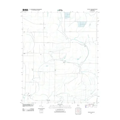
1975 Walnut Lake
Tunica County, MS
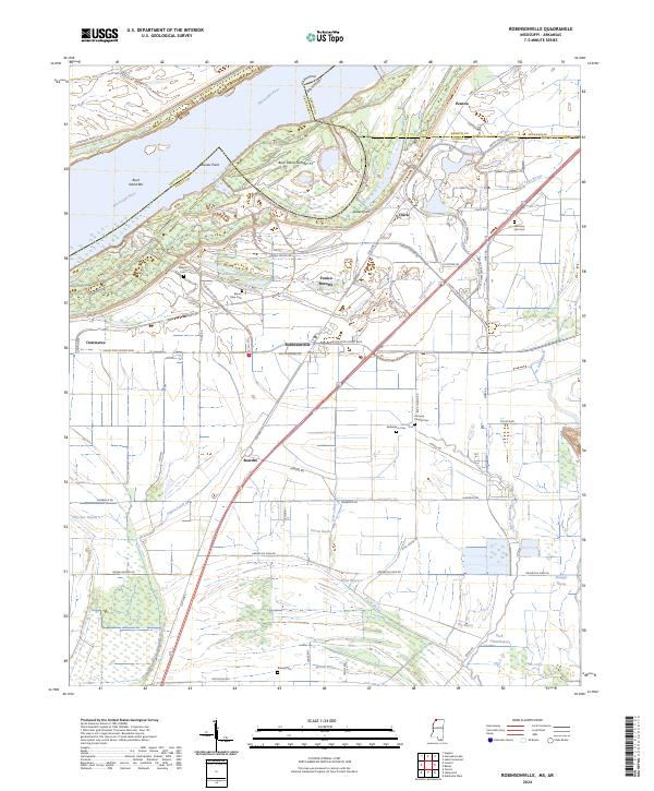
1981 Robinsonville
Tunica County, MS
1982 Hollywood
Tunica County, MS
1982 Stubbs Island
Tunica County, MS
1982 Walnut Lake
Tunica County, MS
2011 Robinsonville
Tunica County, MS
2011 Stubbs Island
Tunica County, MS
2012 Hollywood
Tunica County, MS
2012 Robinsonville
Tunica County, MS
2012 Walnut Lake
Tunica County, MS
2015 Hollywood
Tunica County, MS
2015 Robinsonville
Tunica County, MS
2015 Stubbs Island
Tunica County, MS
2015 Walnut Lake
Tunica County, MS
2018 Hollywood
Tunica County, MS
2018 Robinsonville
Tunica County, MS
2018 Stubbs Island
Tunica County, MS
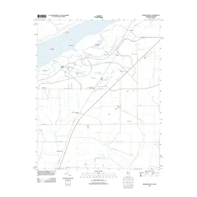
2018 Walnut Lake
Tunica County, MS
2020 Hollywood
Tunica County, MS
2020 Robinsonville
Tunica County, MS
2020 Walnut Lake
Tunica County, MS
2021 Stubbs Island
Tunica County, MS
2024 Hollywood
Tunica County, MS
2024 Robinsonville
Tunica County, MS
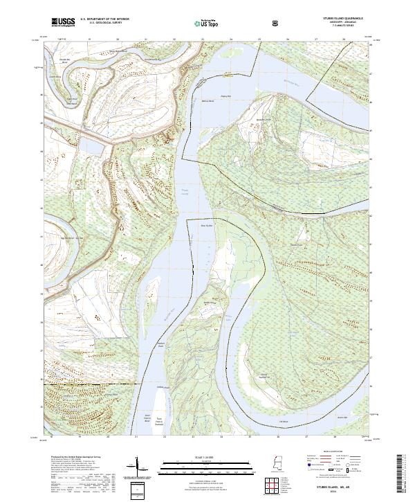
2024 Stubbs Island
Tunica County, MS
2024 Walnut Lake
Tunica County, MS