1908 Map of Lula
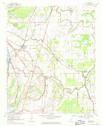
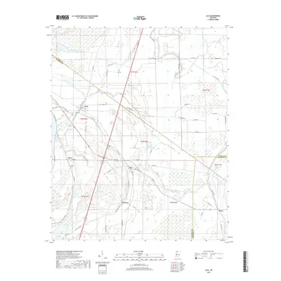
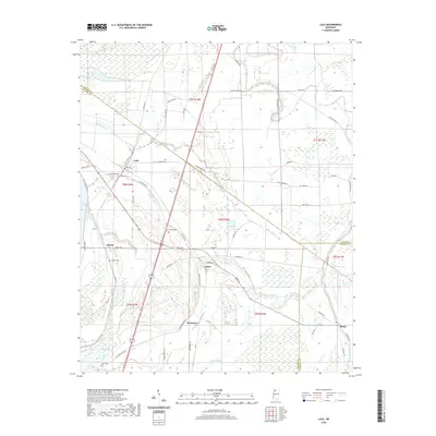
USGS Topo · Published 1957About this map
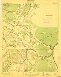
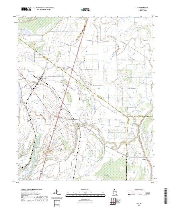
Lula and Rich serve as central nodes in this complex landscape of the Mississippi Delta, where the Yazoo and Mississippi Valley R. R. network branches into specialized lines like the Stempson Lumber Company R. R. and the Helena Branch. The terrain is defined by its drainage history, featuring the sweeping curves of Moon Lake and the Coldwater River. This 1908 survey, published for the Tallahatchie Drainage Commission, illustrates a period when timber and agriculture dictated the placement of small landings and settlements. Scattered across the alluvial plain are several family-named locations and small stations such as Eleanor, Barbee, Roseacres, and Wildwood. The intricate network of Muddy Bayou and Yazoo Pass reveals the pre-industrial water routes that once dominated transportation before the railroads established their dominance across Hull Brake and Carr Brake.
Find a feature on this map
30 named features on this map. Tap any name to fly to it.
Don’t see what you’re looking for? This feature index may not catch every label — zoom into the map to look around manually.
Map Details
Editions of this 1908 Lula Map
This is the sole edition of this map. No revisions or reprints were ever made.
Historical Maps of Lula Through Time
8 maps found