
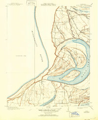
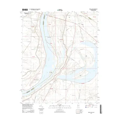
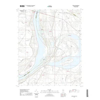
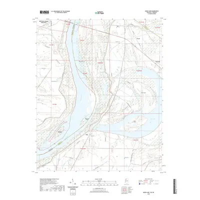
1908 Map of Moon Lake
USGS Topo · Published 1961About this map
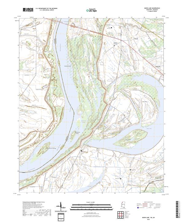
Moon Lake and the surrounding alluvial lowlands of Coahoma County dominate this landscape, reflecting a time when the Mississippi River and its shifting channels dictated the geography of the Delta. The oxbow lake, separated from the main river by Texas Island, is a prominent remnant of the river's former path. At this time, the Yazoo and Mississippi Valley R R's Helena Branch provides a critical transportation corridor through the bottomlands, crossing near Yazoo Pass. The survey highlights a landscape of intricate bayous and brakes, such as Phillips Bayou, Carr Brake, and Hull Brake, which illustrate the complex drainage patterns before extensive modern engineering. Small settlements and points of interest like Delta Gerald P O, Powell, and Danforth are positioned near the rail lines and water bodies, marking the early 20th-century footprint of commerce and community in the Mississippi Delta.
Find a feature on this map
22 named features on this map. Tap any name to fly to it.
Don’t see what you’re looking for? This feature index may not catch every label — zoom into the map to look around manually.
Map Details
Editions of this 1908 Moon Lake Map
This is the sole edition of this map. No revisions or reprints were ever made.
Historical Maps of Helena-West Helena Through Time
27 maps found
1908 Moon Lake
Coahoma County, MS
1912 Moon Lake
Coahoma County, MS
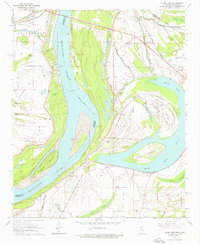
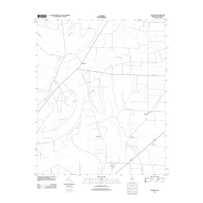
1964 Moon Lake
Coahoma County, MS

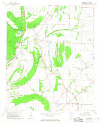
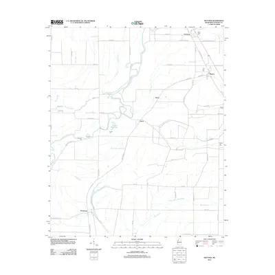
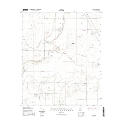
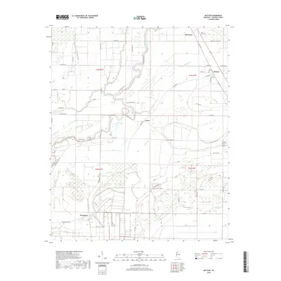
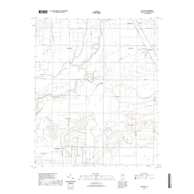
1967 Mattson
Coahoma County, MS
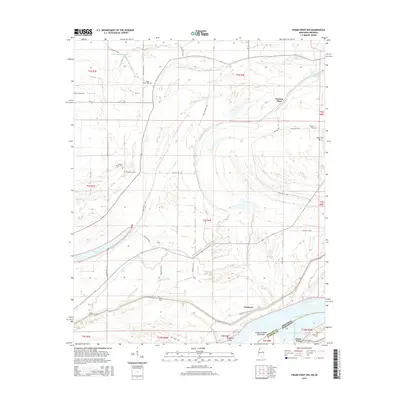
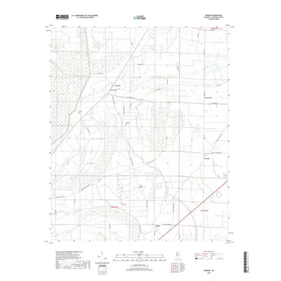
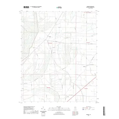
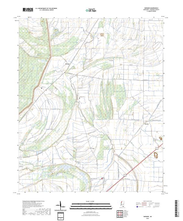
1967 Sherard
Coahoma County, MS
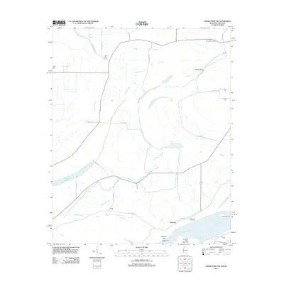
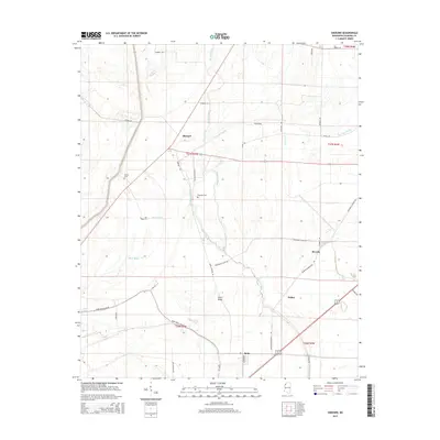
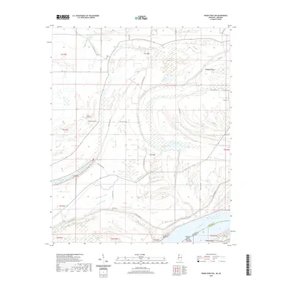
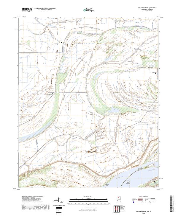
2011 Friars Point NW
Coahoma County, MS
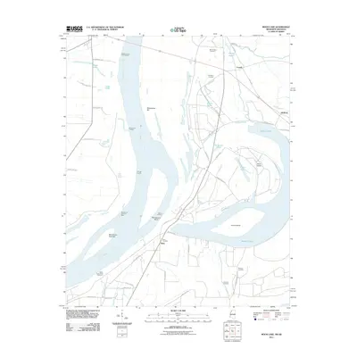
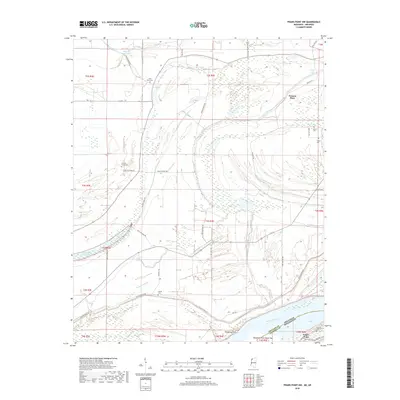
2011 Moon Lake
Coahoma County, MS
2012 Friars Point NW
Coahoma County, MS
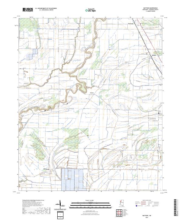
2012 Mattson
Coahoma County, MS
2012 Moon Lake
Coahoma County, MS
2012 Sherard
Coahoma County, MS
2015 Friars Point NW
Coahoma County, MS
2015 Mattson
Coahoma County, MS
2015 Moon Lake
Coahoma County, MS
2015 Sherard
Coahoma County, MS
2018 Friars Point NW
Coahoma County, MS
2018 Mattson
Coahoma County, MS
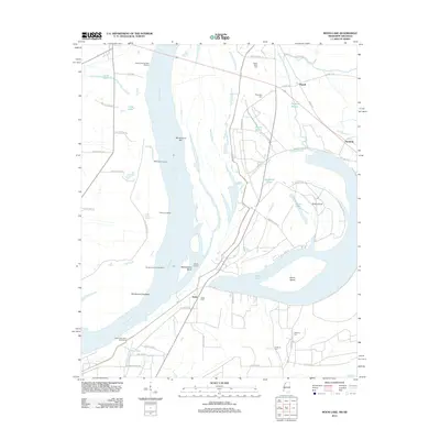
2018 Moon Lake
Coahoma County, MS
2018 Sherard
Coahoma County, MS
2020 Friars Point NW
Coahoma County, MS
2020 Mattson
Coahoma County, MS
2020 Moon Lake
Coahoma County, MS
2020 Sherard
Coahoma County, MS
2024 Friars Point NW
Coahoma County, MS
2024 Mattson
Coahoma County, MS
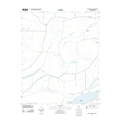
2024 Moon Lake
Coahoma County, MS
2024 Sherard
Coahoma County, MS