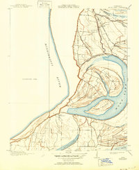
1912 Map of Moon Lake
USGS Topo · Published 1950About this map
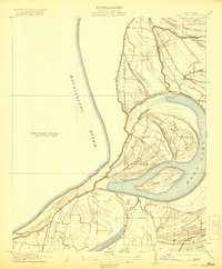
The Mississippi River defines the western edge of this territory, where the dynamic movement of water has shaped a landscape of islands and oxbows. Central to the area is the large, curved expanse of Moon Lake, once part of the river's main channel but now isolated behind Alcorn Island and Texas Island. This 1908 survey, conducted for the State of Mississippi Tallahatchie Drainage Commission, reveals a transition from the vast Unsurveyed Area west of the river to the developed agricultural and rail network of Coahoma and Tunica counties. The Mississippi Valley R R skirts the eastern shore of the lake, serving small settlements like Powell and the post office at Delta Gerald P O. Intricate water features like Yazoo Pass, Ginhouse Chute, and Carr Brake illustrate the complex hydrology of the Delta region before modern flood control measures fully altered these natural bypasses.
Find a feature on this map
21 named features on this map. Tap any name to fly to it.
Don’t see what you’re looking for? This feature index may not catch every label — zoom into the map to look around manually.
Map Details
Editions of this 1912 Moon Lake Map
3 editions found
Other maps of this area

1908 · Lula
USGS Topo · 1:24,000

1908 · Dundee
USGS Topo · 1:24,000

1908 · Coahoma
USGS Topo · 1:24,000

1908 · Moon Lake
USGS Topo · 1:24,000

1908 · Jonestown
USGS Topo · 1:24,000

1910 · Dundee
USGS Topo · 1:31,680

1910 · Coahoma
USGS Topo · 1:31,680

1910 · Jonestown
USGS Topo · 1:31,680

1912 · Moon Lake
USGS Topo · 1:31,680

1912 · Lula
USGS Topo · 1:31,680