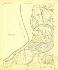
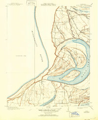
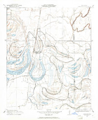
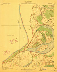
1912 Map of Moon Lake
USGS Topo · Published 1921About this map
Delta Gerald PO and the small settlements of Powell and Danforth anchor this 1912 survey of the Mississippi Delta, conducted in cooperation with the Tallahatchie Drainage Commission. The landscape is dominated by the intricate hydrology of the Mississippi River and the famous Yazoo Pass, which historically linked the river to the Yazoo basin. The map illustrates a complex network of chutes and bayous, including Ginhouse Chute and Phillips Bayou, surrounding the large landmasses of Texas Island and Alcorn Island.
Find a feature on this map
23 named features on this map. Tap any name to fly to it.
Don’t see what you’re looking for? This feature index may not catch every label — zoom into the map to look around manually.
Map Details
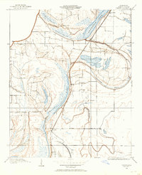
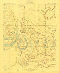
Editions of this 1912 Moon Lake Map
3 editions found
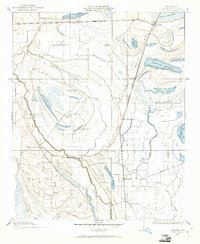
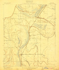
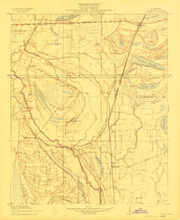
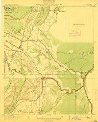
Other maps of this area

1908 · Lula
USGS Topo · 1:24,000
1908 · Dundee
USGS Topo · 1:24,000
1908 · Coahoma
USGS Topo · 1:24,000

1908 · Moon Lake
USGS Topo · 1:24,000
1908 · Jonestown
USGS Topo · 1:24,000
1910 · Dundee
USGS Topo · 1:31,680
1910 · Coahoma
USGS Topo · 1:31,680
1910 · Jonestown
USGS Topo · 1:31,680
1912 · Moon Lake
USGS Topo · 1:31,680
1912 · Lula
USGS Topo · 1:31,680