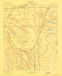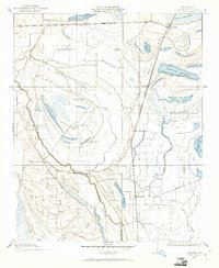
1908 Map of Coahoma
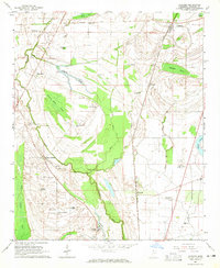
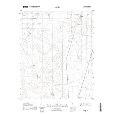
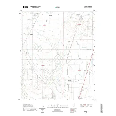
USGS Topo · Published 1961About this map
The Yazoo and Mississippi Valley R. R. (Riverside Line) anchors the northern edge of this Mississippi Delta landscape, where the shifting hydrology of the Sunflower River has left a complex network of brakes and lakes. This 1908 survey, conducted for the State of Mississippi Tallahatchie Drainage Commission, reveals a plantation-era settlement pattern defined by large named holdings and rail stops. Prominent estates like Elkhorn Place and King & Anderson's sit along the high ground of the Sheriff Ridge Road, a vital overland route through the bottomlands. The map illustrates how local agriculture relied on the strategic placement of landings and rail sidings at Coahoma and Cloverhill, as well as the intricate drainage provided by Mill Creek and Barklay Bayou long before the modern channelization of the Delta's waterways.
Find a feature on this map
32 named features on this map. Tap any name to fly to it.
Don’t see what you’re looking for? This feature index may not catch every label — zoom into the map to look around manually.
Map Details
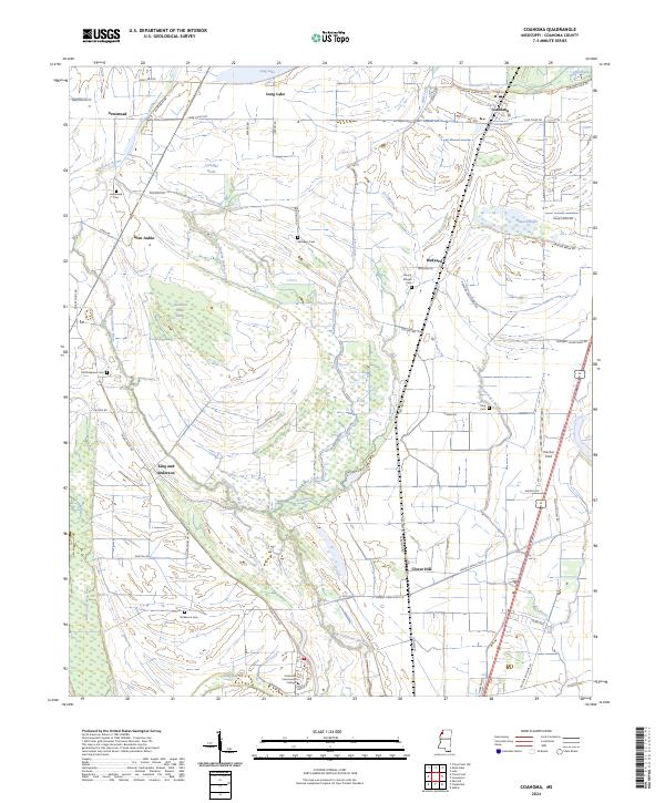
Editions of this 1908 Coahoma Map
This is the sole edition of this map. No revisions or reprints were ever made.
Historical Maps of Coahoma Through Time
8 maps found