Loading...
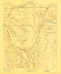
Loading map...1910 Map of Coahoma
USGS Topo · Published 1910About this map
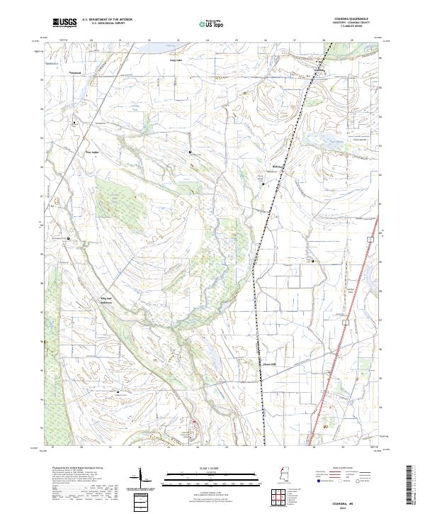
Sunflower River and the complex hydrology of the Mississippi Delta define this 1908 survey, conducted in cooperation with the Tallahatchie Drainage Commission. The landscape is a network of bayous, brakes, and oxbow lakes, including Hull Brake, Alligator Lake, and the winding Hushpuckana River. The agricultural character of Coahoma County is evident in named plantations and landings such as King & Anderson's, Elkhorn Place, and Glen Aubin.
Find a feature on this map
34 named features on this map. Tap any name to fly to it.
Don’t see what you’re looking for? This feature index may not catch every label — zoom into the map to look around manually.
Map Details
Date Portrayed1910
Date Published1910
PublisherU.S. Geological Survey
Map TypeTopographic
Scale1:31,680
Physical Dimensions16.4 x 20 inches
Editions of this 1910 Coahoma Map
This is the sole edition of this map. No revisions or reprints were ever made.
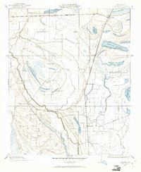
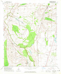
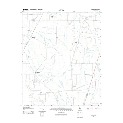
Historical Maps of Coahoma Through Time
8 maps found
Featured Locations
Source Details
SourceU.S. Geological Survey
CopyrightPublic Domain