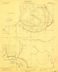
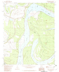
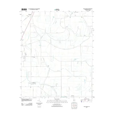
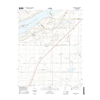
1913 Map of Hollywood
USGS Topo · Published 1913About this map
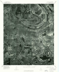
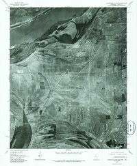
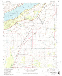
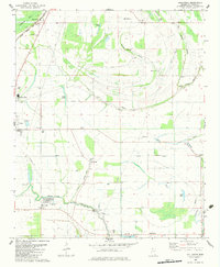
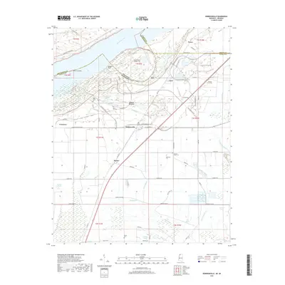
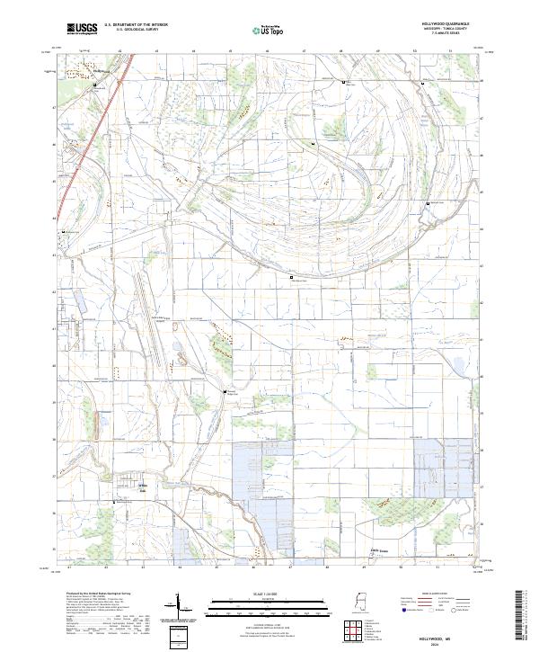
The Tallahatchie Drainage Commission worked in coordination with Chief Engineer T.G. Dabney and the U.S. Geological Survey to document this intricate network of Delta waterways. The landscape is defined by the winding paths of Buck Island Bayou and Minton Bayou, which carve through a terrain dotted with small lakes and seasonal drainage features. This 1908 survey captures the rural infrastructure of Tunica County before major modern agricultural transformations, highlighting the community anchors of the era.
Find a feature on this map
15 named features on this map. Tap any name to fly to it.
Don’t see what you’re looking for? This feature index may not catch every label — zoom into the map to look around manually.
Map Details
Editions of this 1913 Hollywood Map
This is the sole edition of this map. No revisions or reprints were ever made.
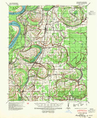
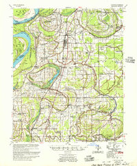
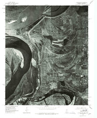
Historical Maps of Tunica Through Time
35 maps found

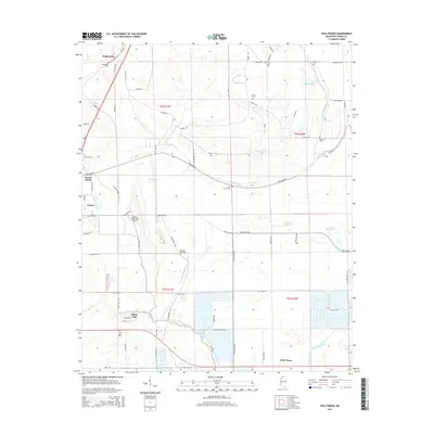
1908 Hollywood
Tunica County, MS

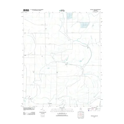
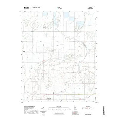
1908 Walnut Lake
Tunica County, MS

1910 Walnut Lake
Tunica County, MS
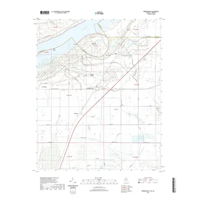
1913 Hollywood
Tunica County, MS
1939 Clayton
Tunica County, MS
1955 Clayton
Tunica County, MS
1975 Clayton NW
Tunica County, MS
1975 Hollywood
Tunica County, MS
1975 Horseshoe Lake SE
Tunica County, MS

1975 Walnut Lake
Tunica County, MS
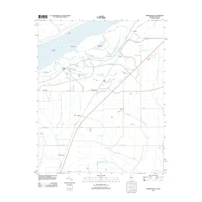
1981 Robinsonville
Tunica County, MS
1982 Hollywood
Tunica County, MS
1982 Stubbs Island
Tunica County, MS
1982 Walnut Lake
Tunica County, MS
2011 Robinsonville
Tunica County, MS
2011 Stubbs Island
Tunica County, MS
2012 Hollywood
Tunica County, MS
2012 Robinsonville
Tunica County, MS
2012 Walnut Lake
Tunica County, MS
2015 Hollywood
Tunica County, MS
2015 Robinsonville
Tunica County, MS
2015 Stubbs Island
Tunica County, MS
2015 Walnut Lake
Tunica County, MS
2018 Hollywood
Tunica County, MS
2018 Robinsonville
Tunica County, MS
2018 Stubbs Island
Tunica County, MS
2018 Walnut Lake
Tunica County, MS
2020 Hollywood
Tunica County, MS
2020 Robinsonville
Tunica County, MS
2020 Walnut Lake
Tunica County, MS
2021 Stubbs Island
Tunica County, MS
2024 Hollywood
Tunica County, MS
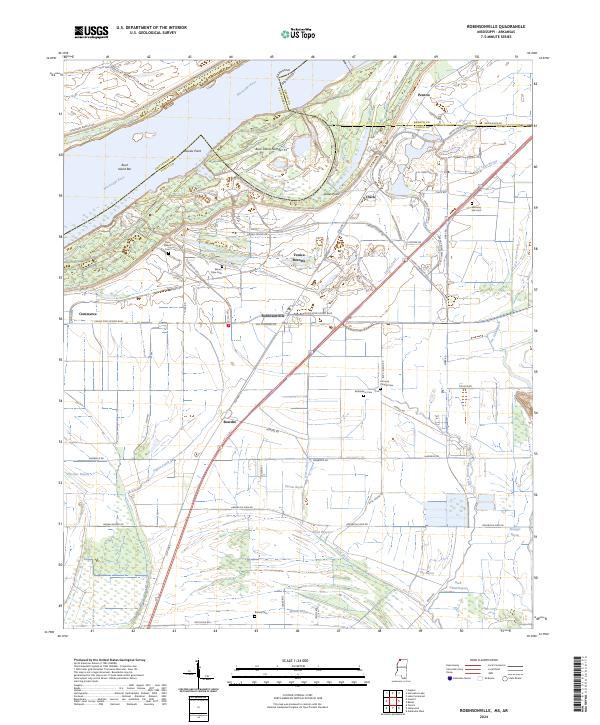
2024 Robinsonville
Tunica County, MS
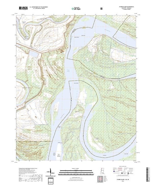
2024 Stubbs Island
Tunica County, MS
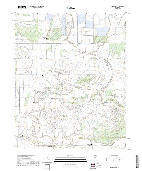
2024 Walnut Lake
Tunica County, MS