
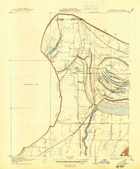
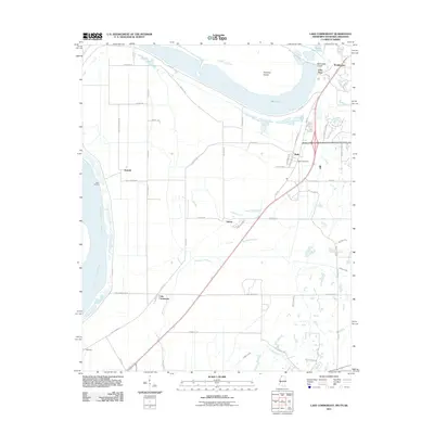
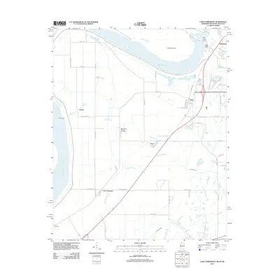
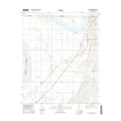
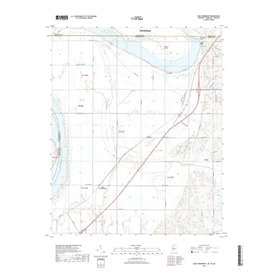
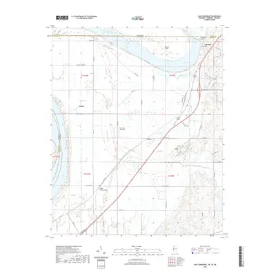
1908 Map of Lake Cormorant
USGS Topo · Published 1961About this map
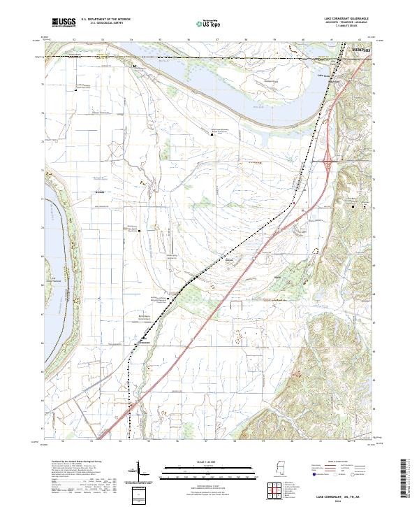
The Mississippi River's changing path defines this region, where Old River and various sloughs reveal the shifting alluvial landscape at the Tennessee state line. Surveyed in 1908, the map documents a transition from river-based commerce at Norfolk Landing to the railroad-driven economy centered around Lake Cormorant. The Yazoo and Mississippi Valley (Tutwiler Branch) railroad runs north-south, connecting the community of Glover and providing a vital link for the agricultural lands reclaimed by the Tallahatchie Drainage Commission. Small interior settlements such as Norfolk and Blue Goose are visible alongside local landmarks like the Morning Star Church. The complex network of waterways, including Dead Nigger Slough and Fish Lake, illustrates the drainage challenges and the natural environment of the Delta before modern large-scale flood control altered the basin.
Find a feature on this map
16 named features on this map. Tap any name to fly to it.
Don’t see what you’re looking for? This feature index may not catch every label — zoom into the map to look around manually.
Map Details
Editions of this 1908 Lake Cormorant Map
This is the sole edition of this map. No revisions or reprints were ever made.
Historical Maps of Memphis Through Time
27 maps found
1908 Lake Cormorant
DeSoto County, MS
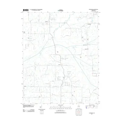
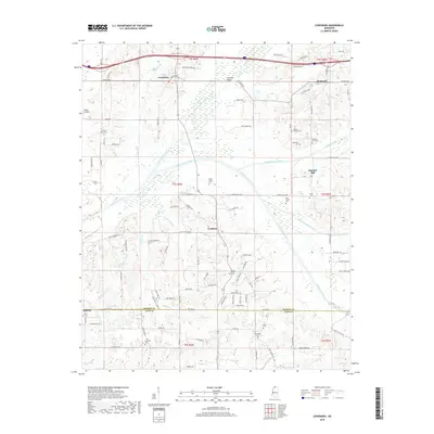
1912 Lake Cormorant
DeSoto County, MS
1982 Banks
DeSoto County, MS
1982 Frees Corners
DeSoto County, MS
1982 Lake Cormorant
DeSoto County, MS
1982 Lewisburg
DeSoto County, MS
2011 Lake Cormorant
DeSoto County, MS
2012 Banks
DeSoto County, MS
2012 Frees Corners
DeSoto County, MS
2012 Lake Cormorant
DeSoto County, MS
2012 Lewisburg
DeSoto County, MS
2015 Banks
DeSoto County, MS
2015 Frees Corners
DeSoto County, MS
2015 Lake Cormorant
DeSoto County, MS
2015 Lewisburg
DeSoto County, MS
2018 Banks
DeSoto County, MS
2018 Frees Corners
DeSoto County, MS
2018 Lake Cormorant
DeSoto County, MS
2018 Lewisburg
DeSoto County, MS
2020 Banks
DeSoto County, MS
2020 Frees Corners
DeSoto County, MS
2020 Lake Cormorant
DeSoto County, MS
2021 Lewisburg
DeSoto County, MS
2024 Banks
DeSoto County, MS
2024 Frees Corners
DeSoto County, MS
2024 Lake Cormorant
DeSoto County, MS
2024 Lewisburg
DeSoto County, MS