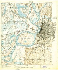
1939 Map of Memphis
USGS Topo · Published 1944About this map
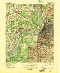
The Mississippi River serves as the powerful divide between Shelby County, Tennessee, and Crittenden County, Arkansas, during this late 1930s era. The urban grid of Memphis dominates the eastern bank, featuring established neighborhoods like New South Memphis and Rugby, while the Arkansas side is characterized by smaller settlements such as West Memphis and Mound City. The river's dynamic nature is evident in the complex network of chutes and islands, including Robinson Crusoe Island and the expansive Presidents Island No 45.
Find a feature on this map
98 named features on this map. Tap any name to fly to it.
Don’t see what you’re looking for? This feature index may not catch every label — zoom into the map to look around manually.
Map Details
Editions of this 1939 Memphis Map
This is the sole edition of this map. No revisions or reprints were ever made.
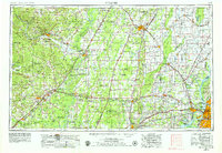
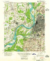
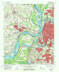
Historical Maps of Memphis Through Time
8 maps found